view on desktop for full website
wyoming (2025)

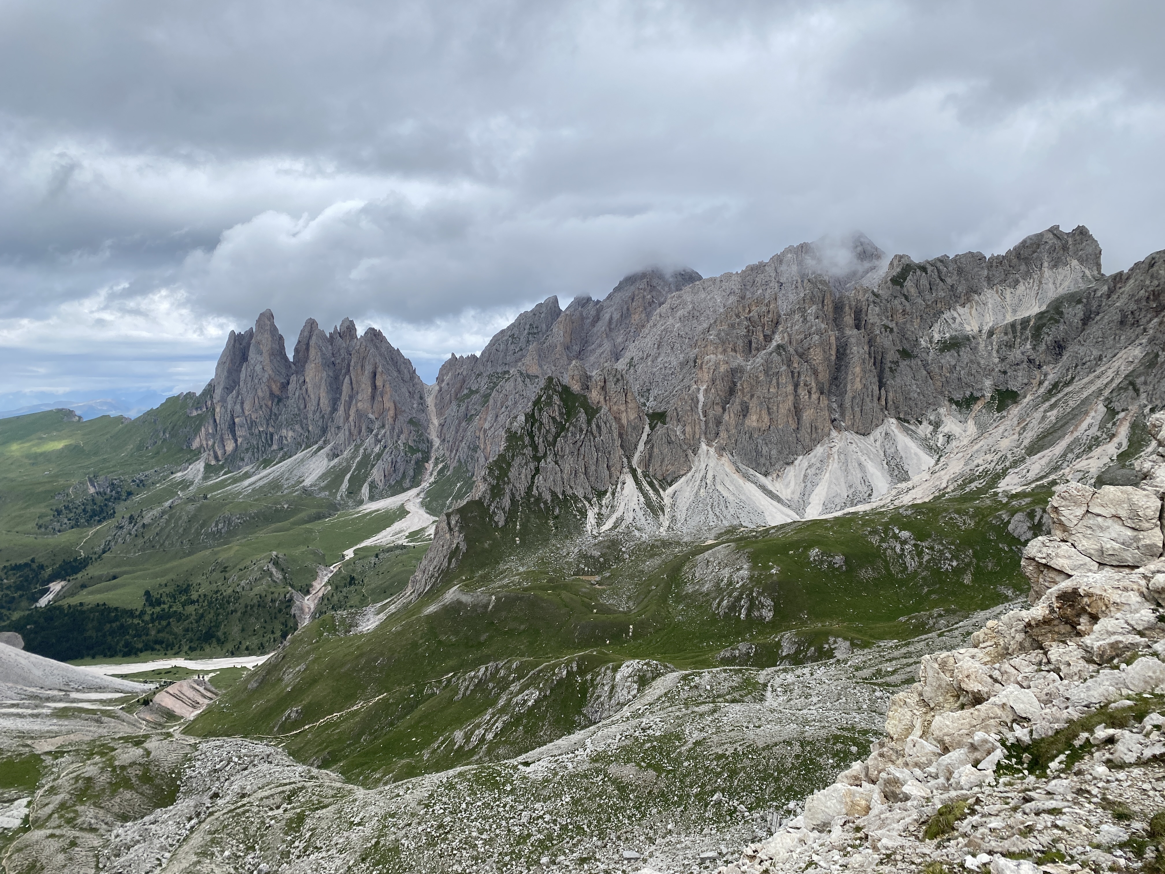
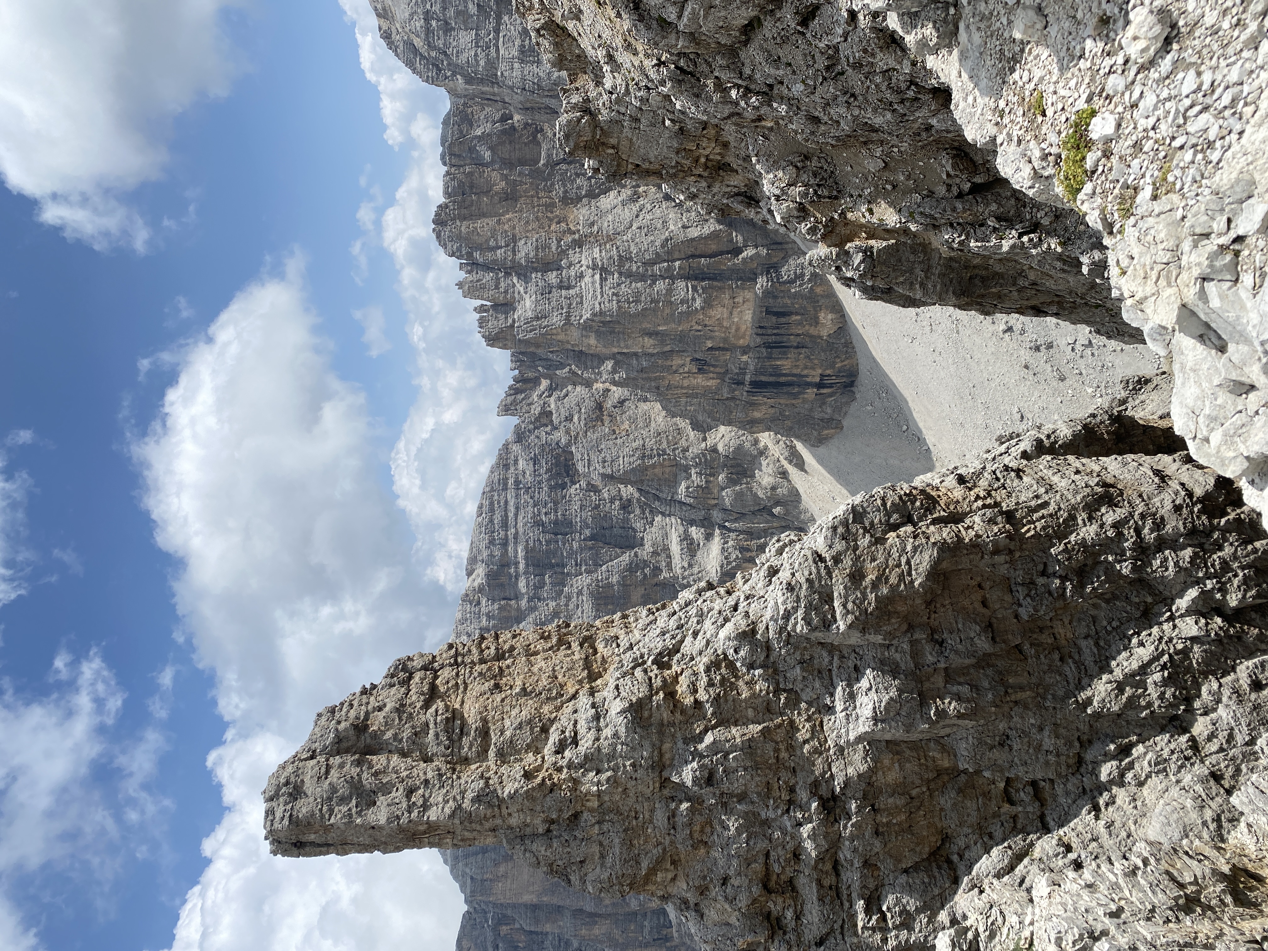
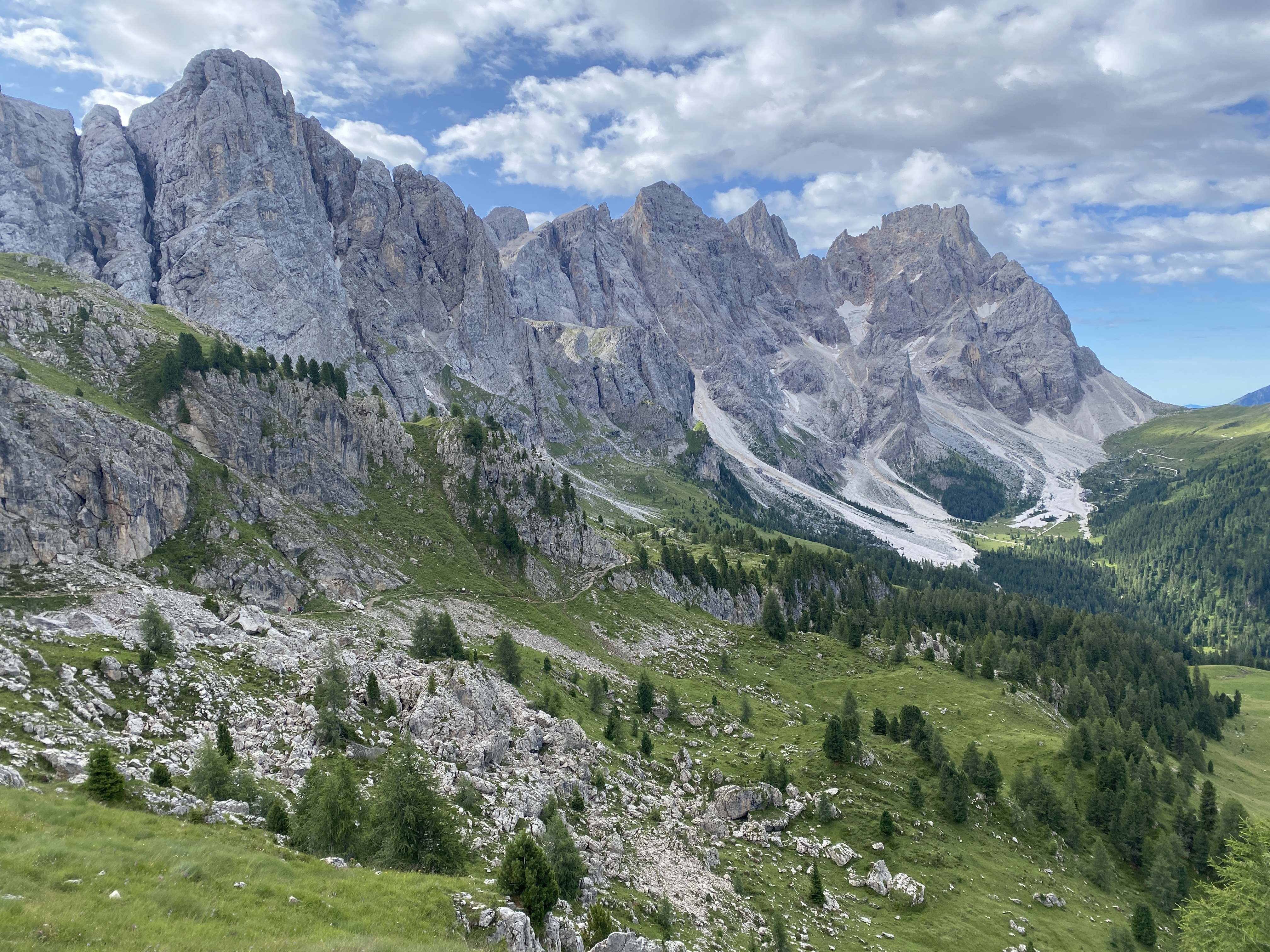
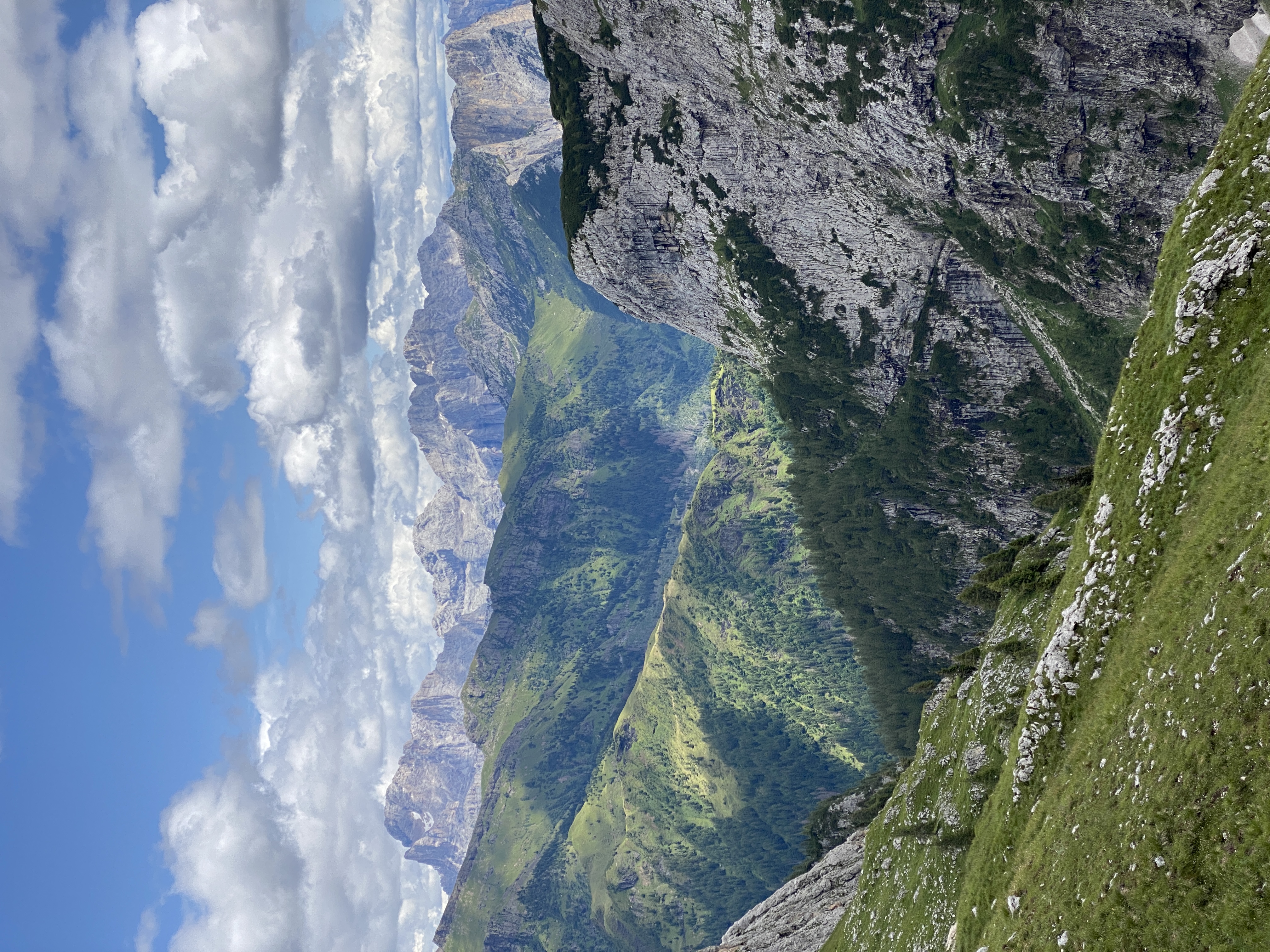
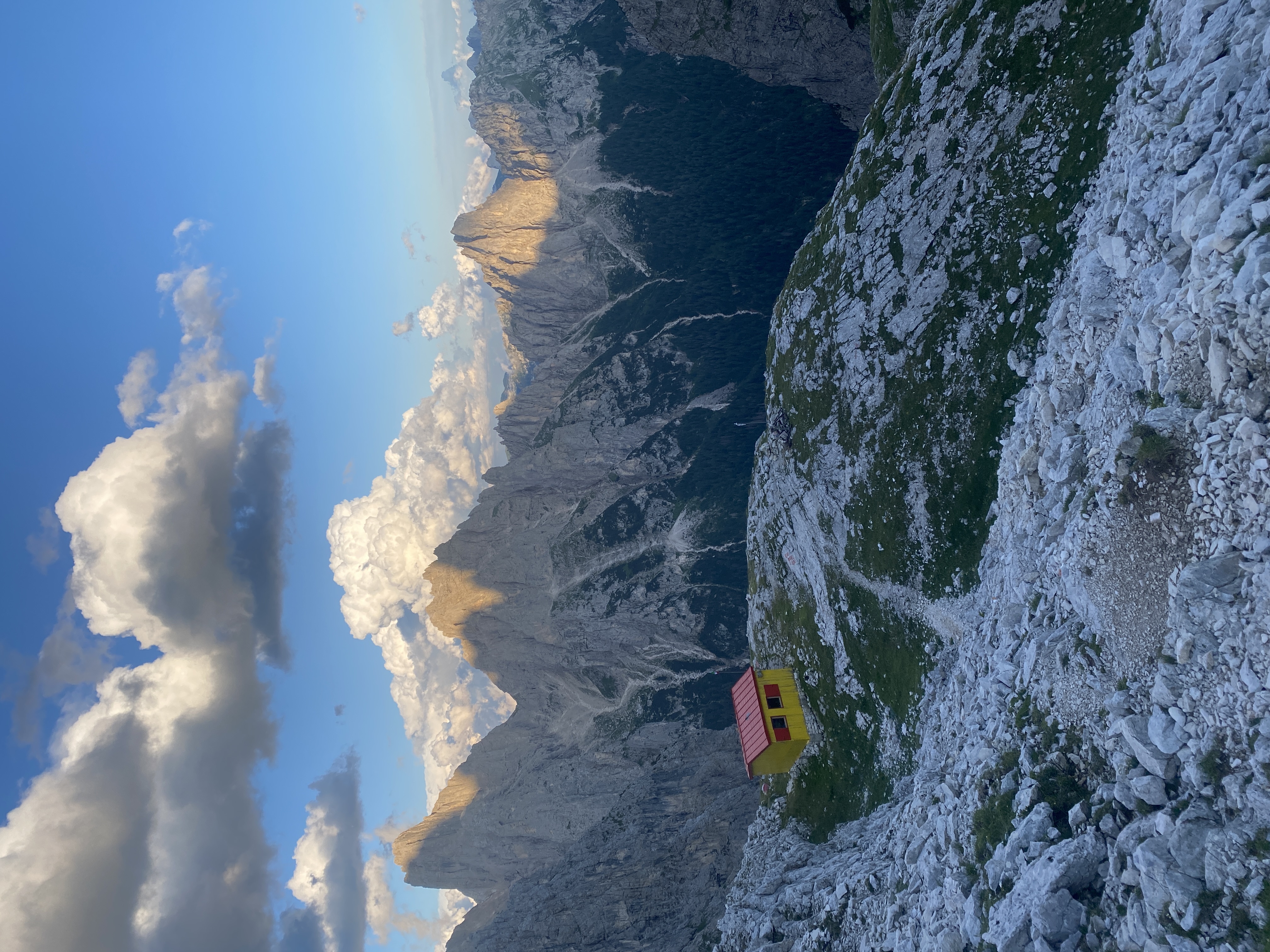
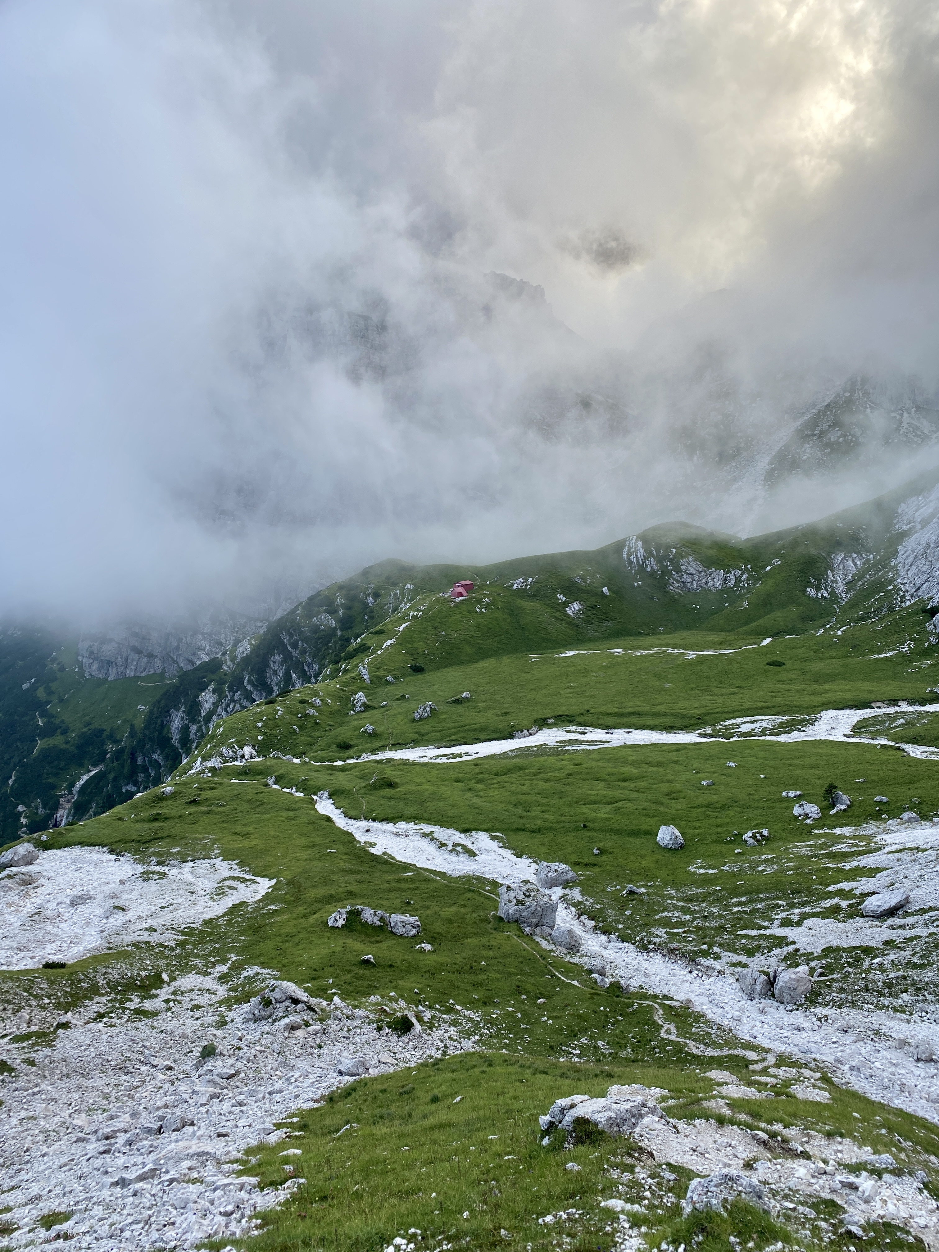
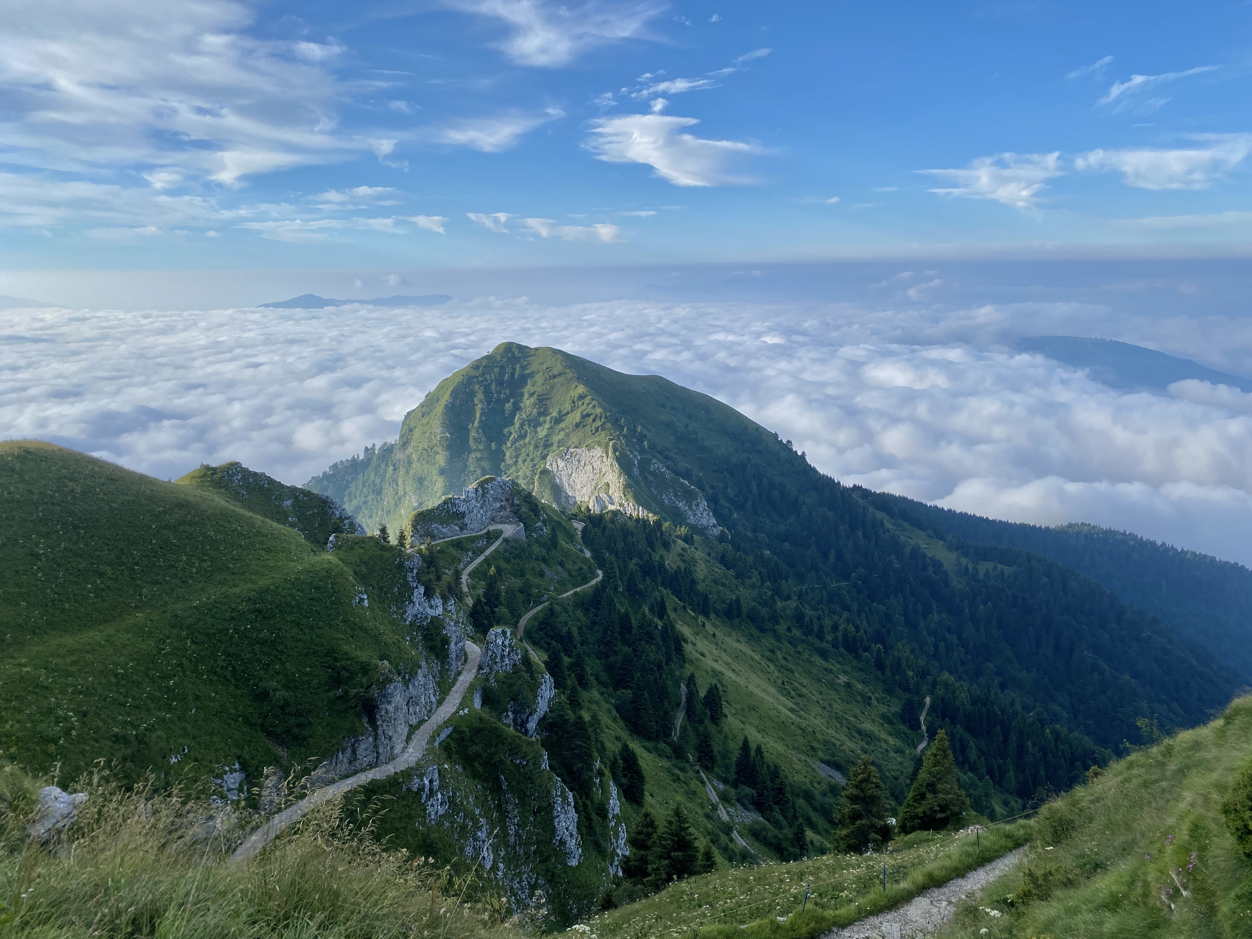
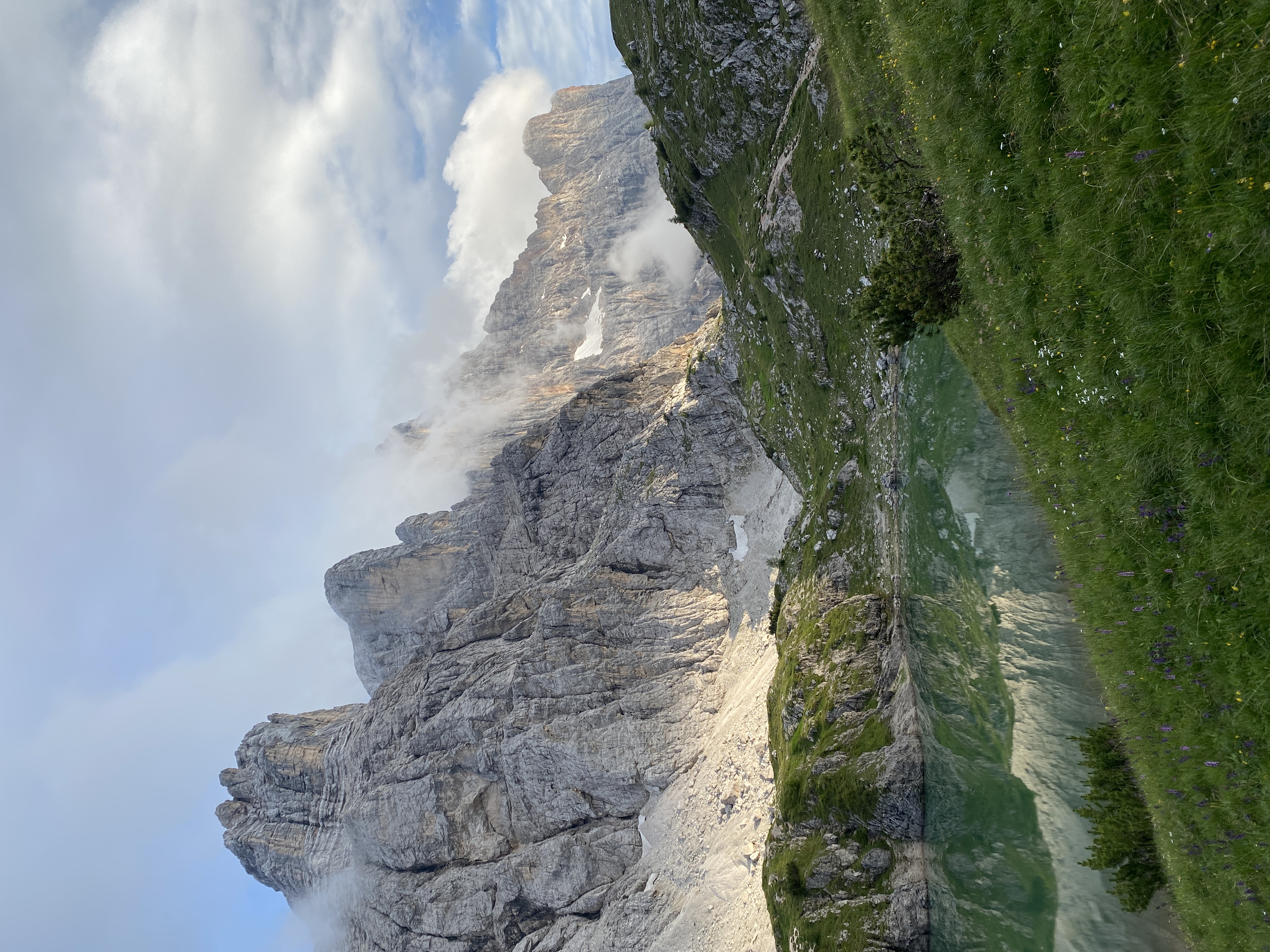
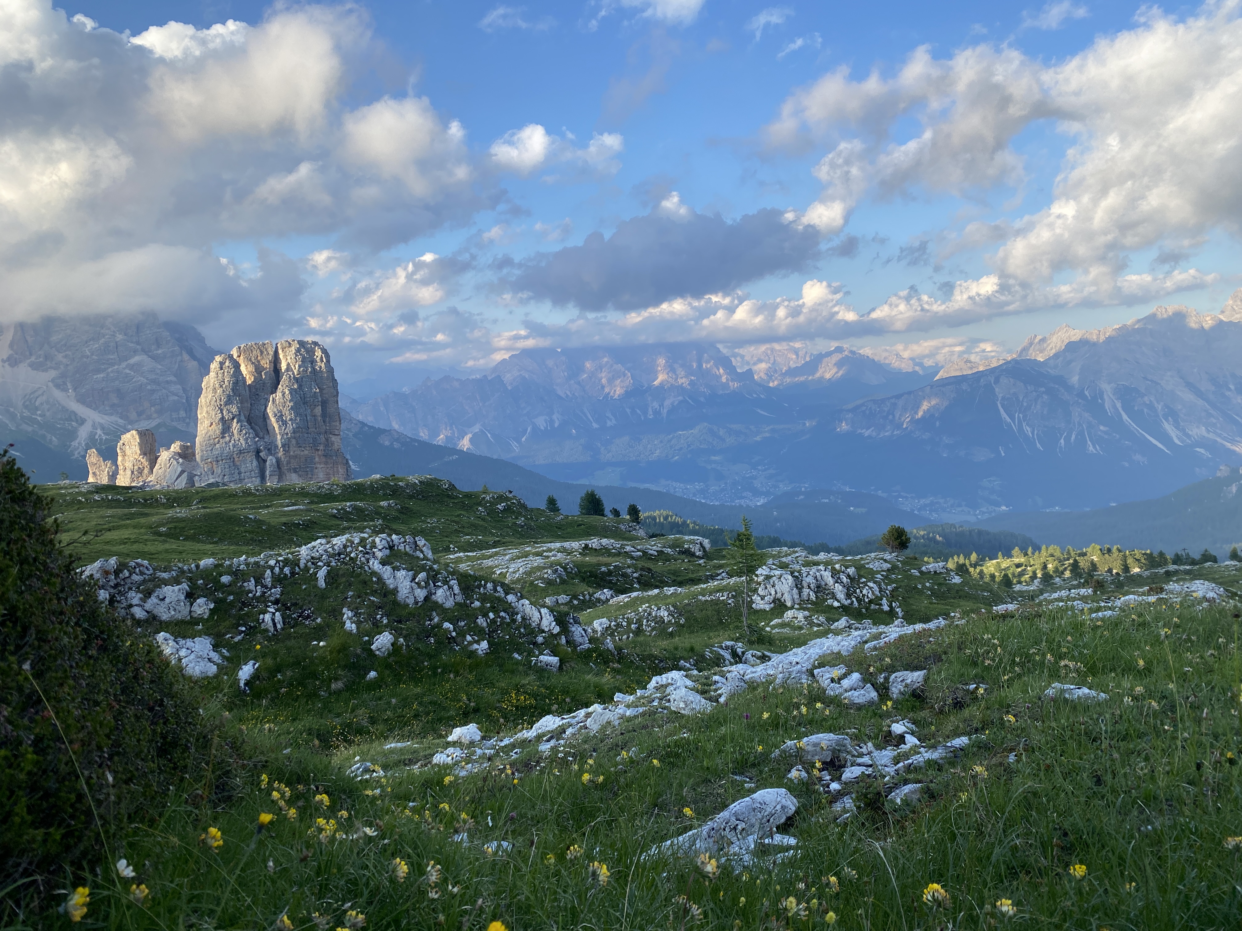
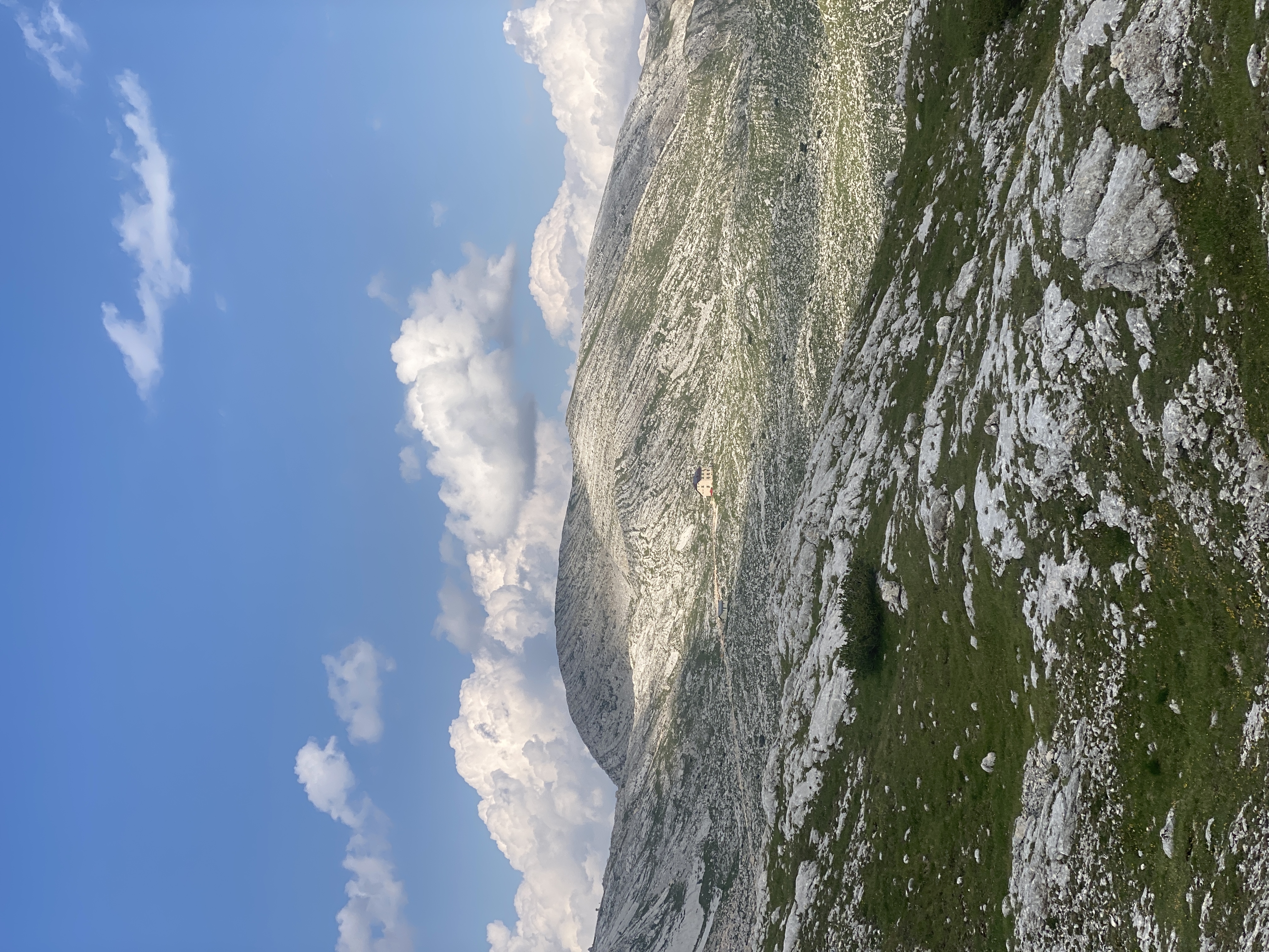
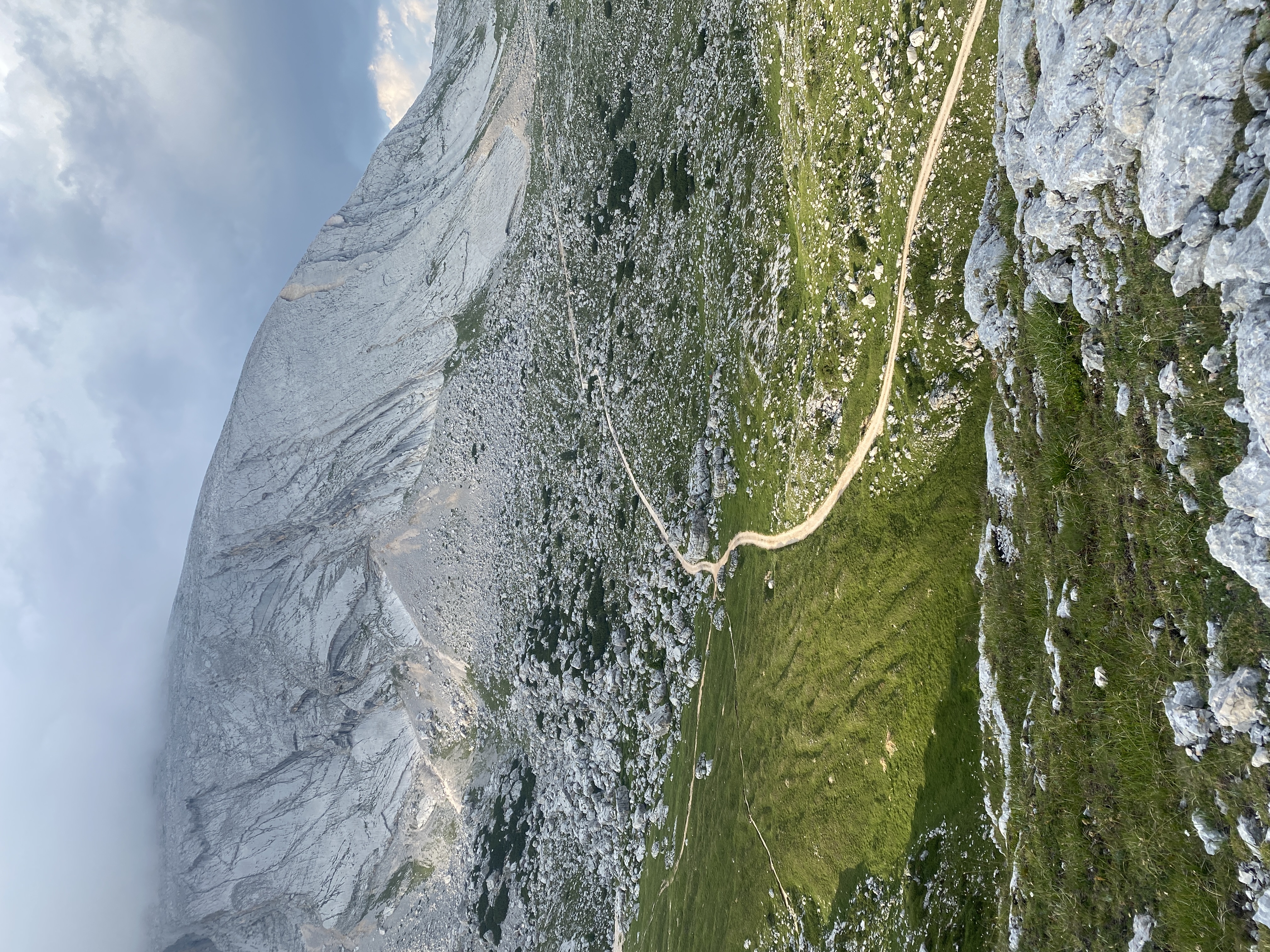
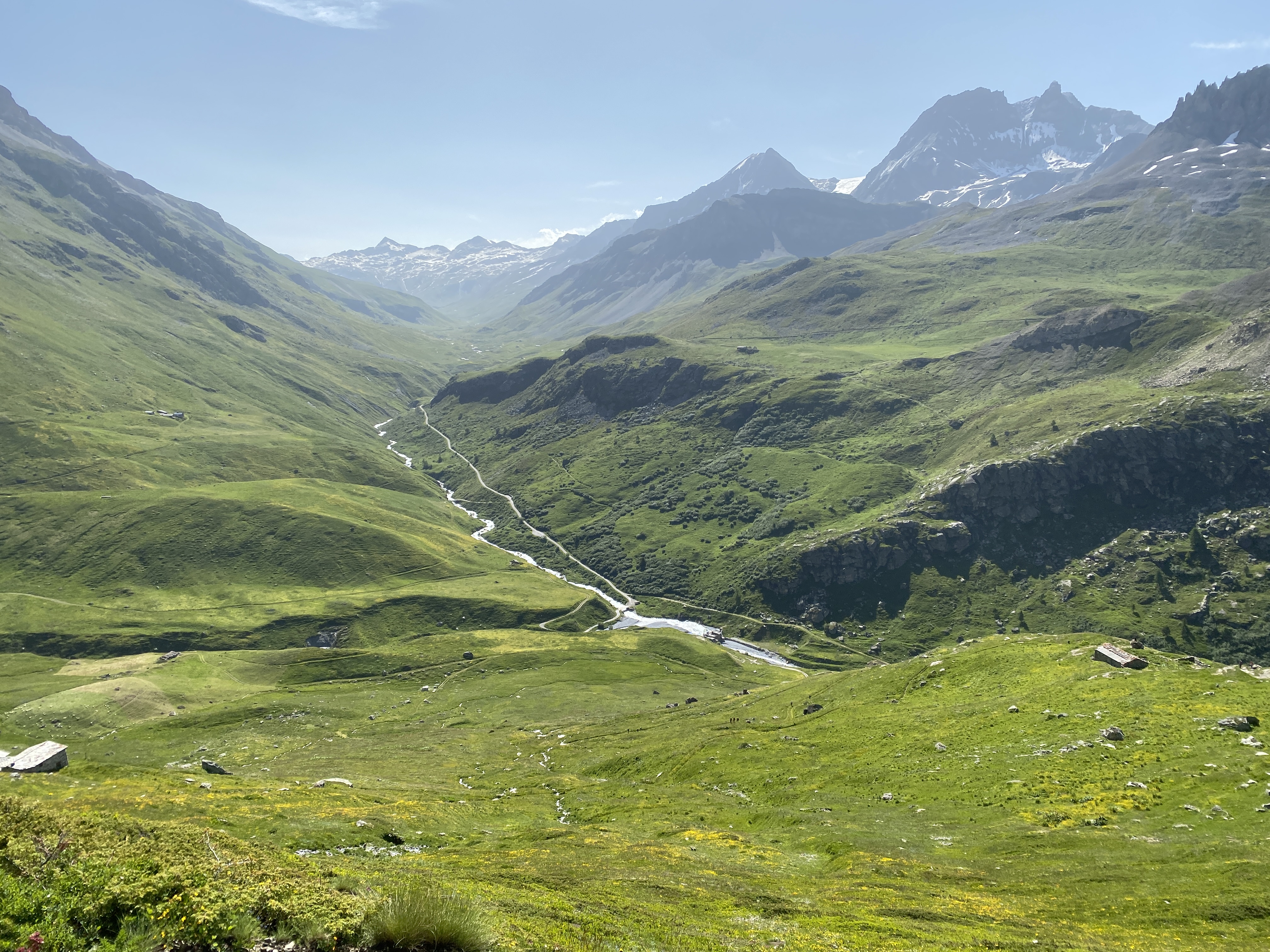
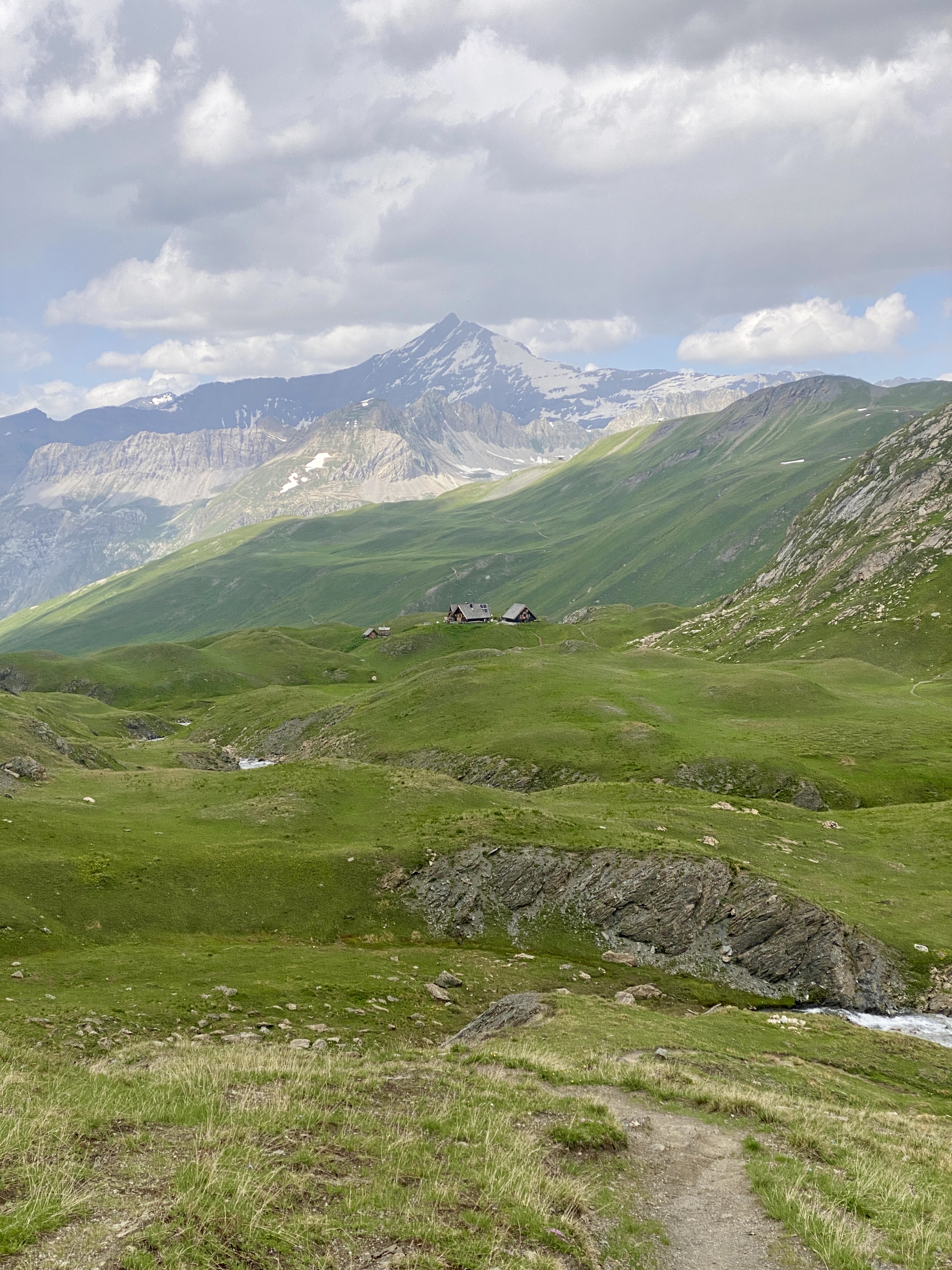
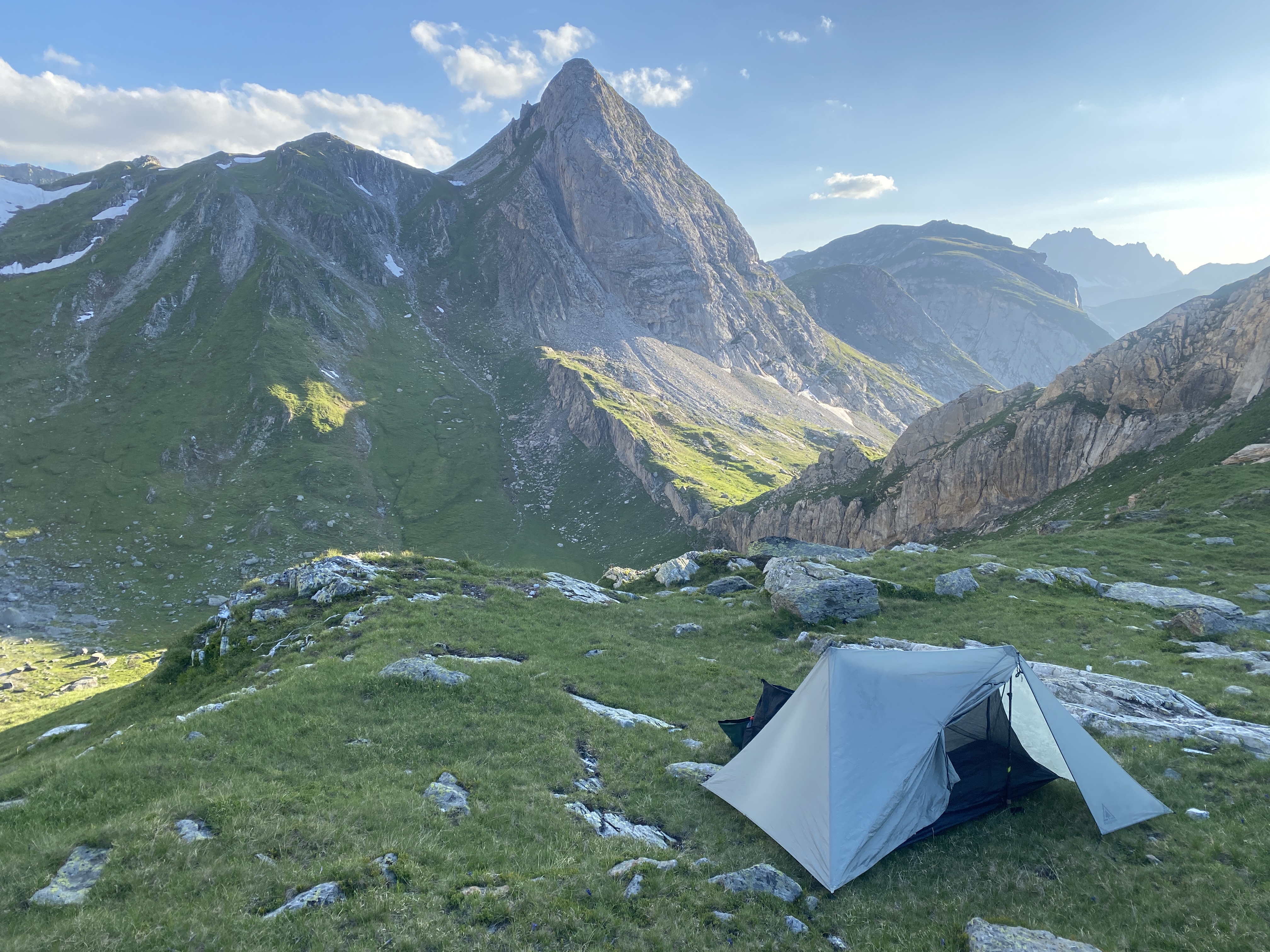
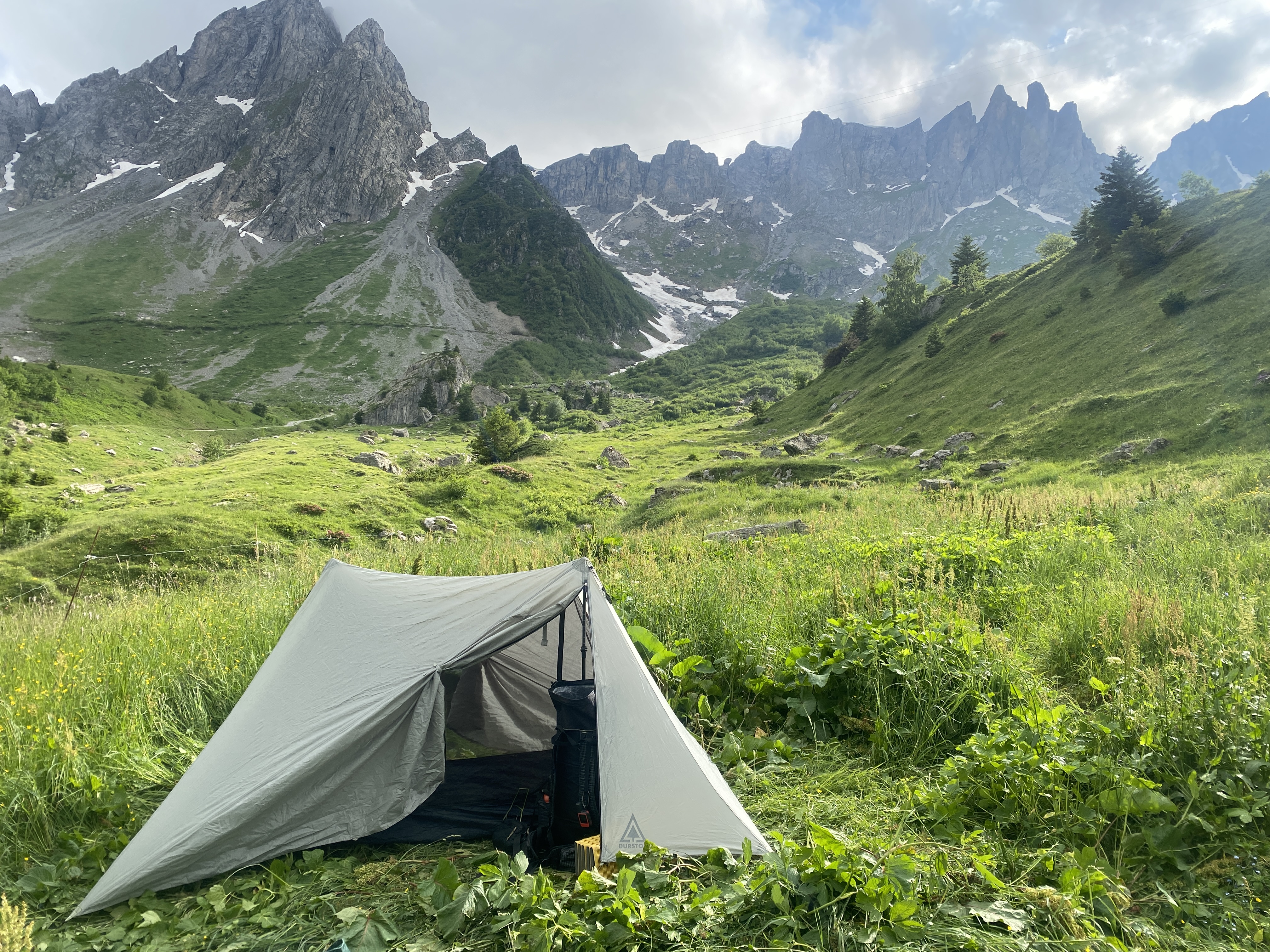
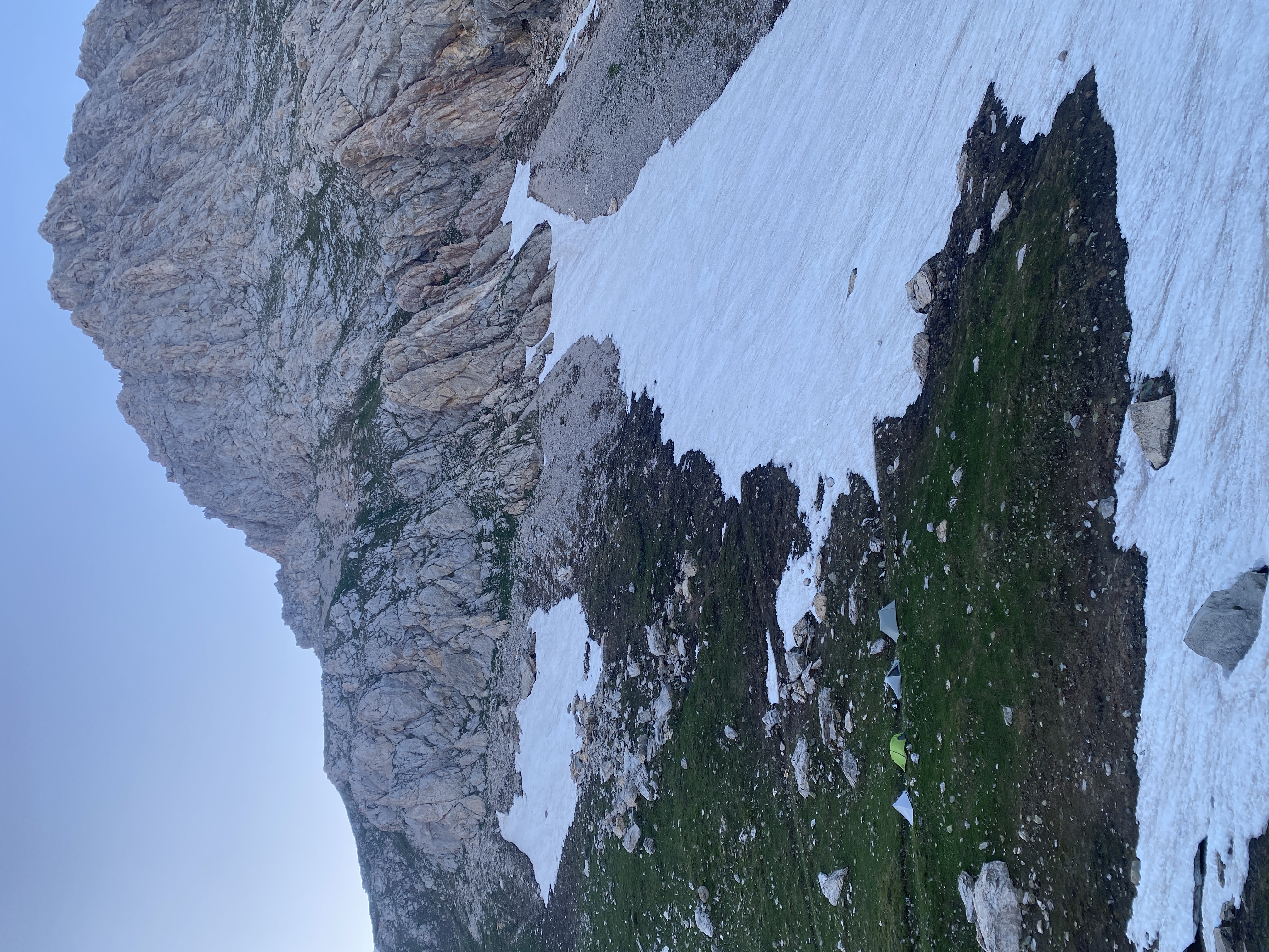
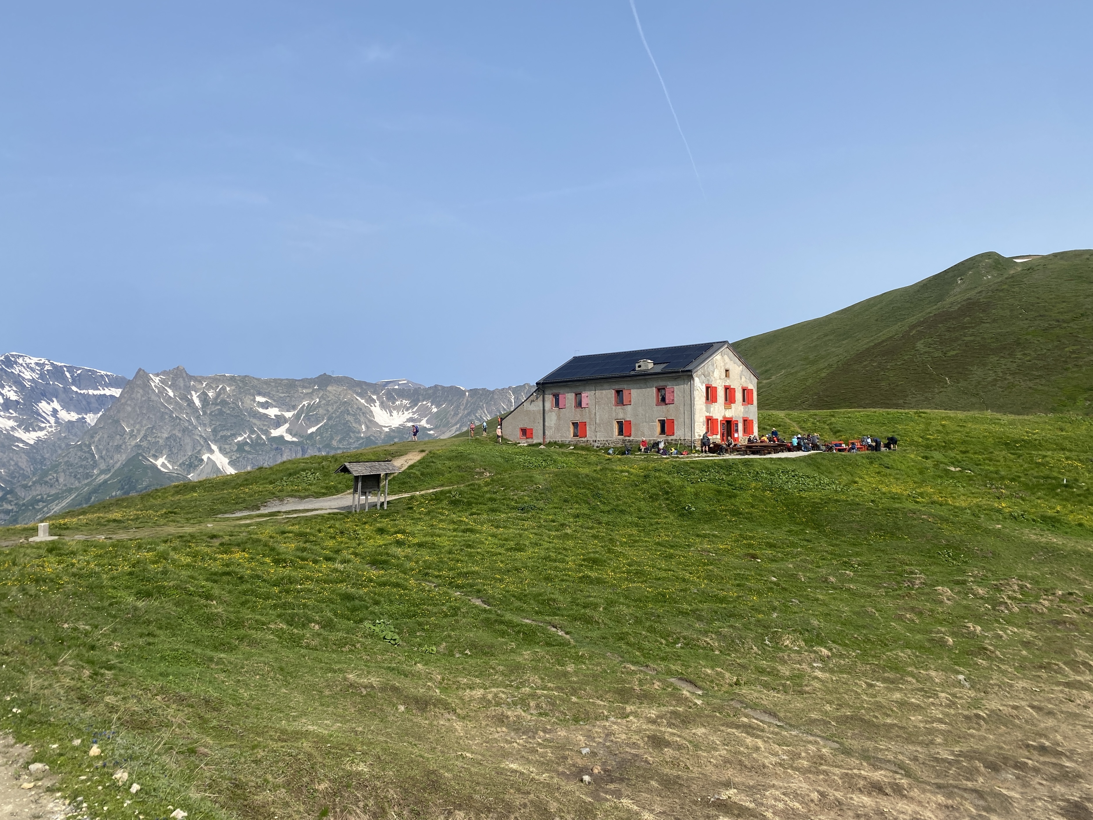
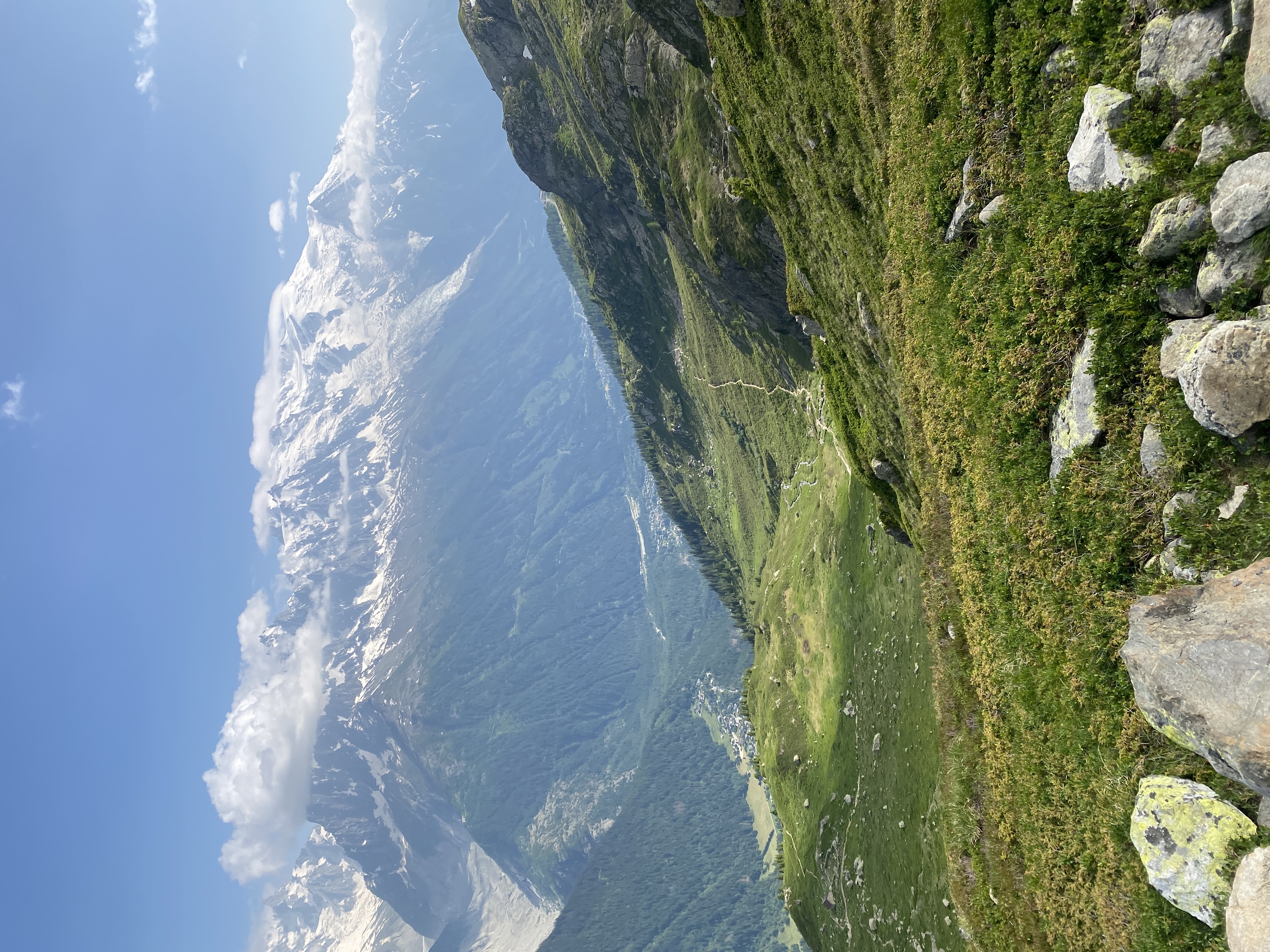
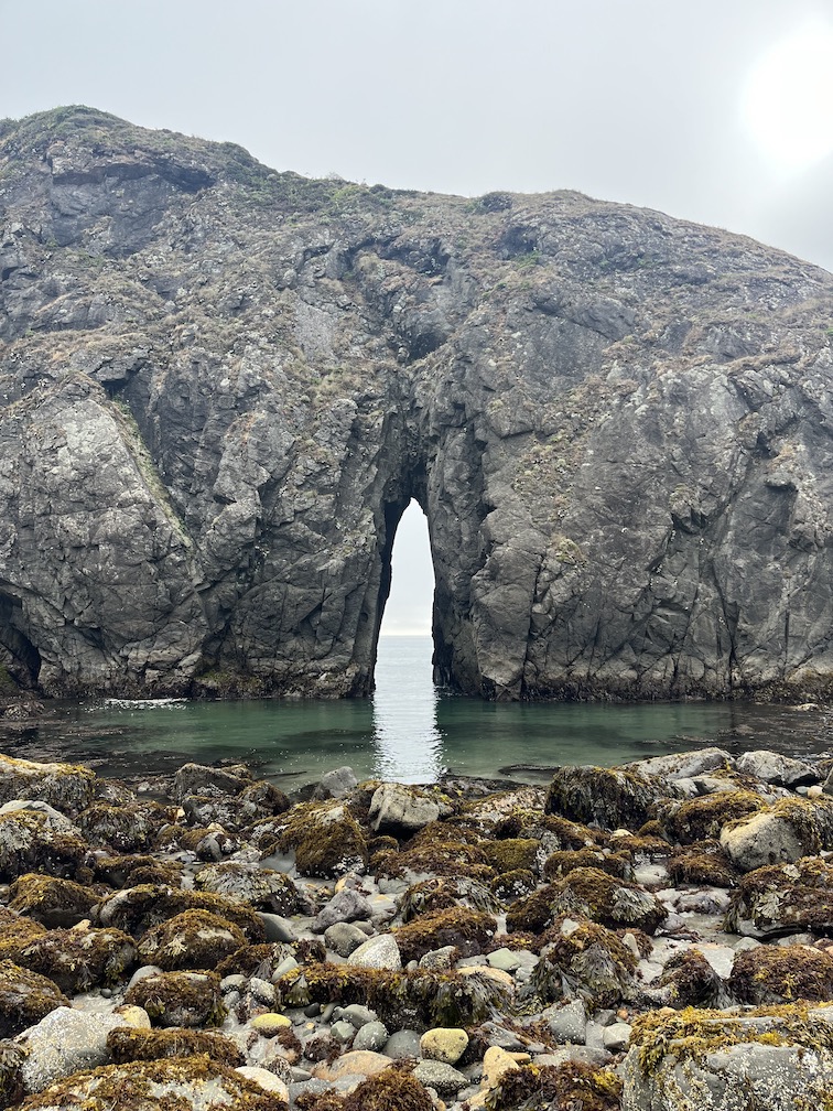
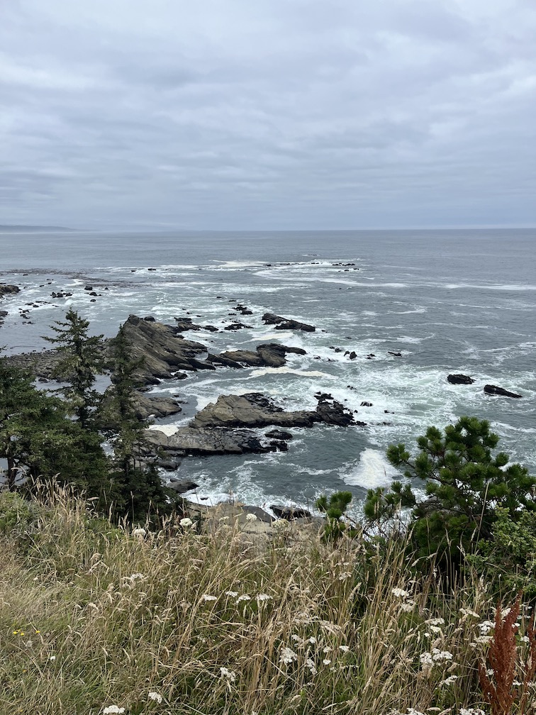
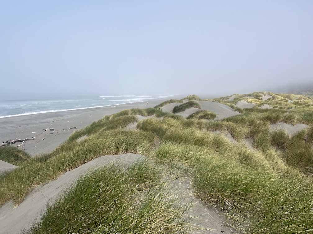
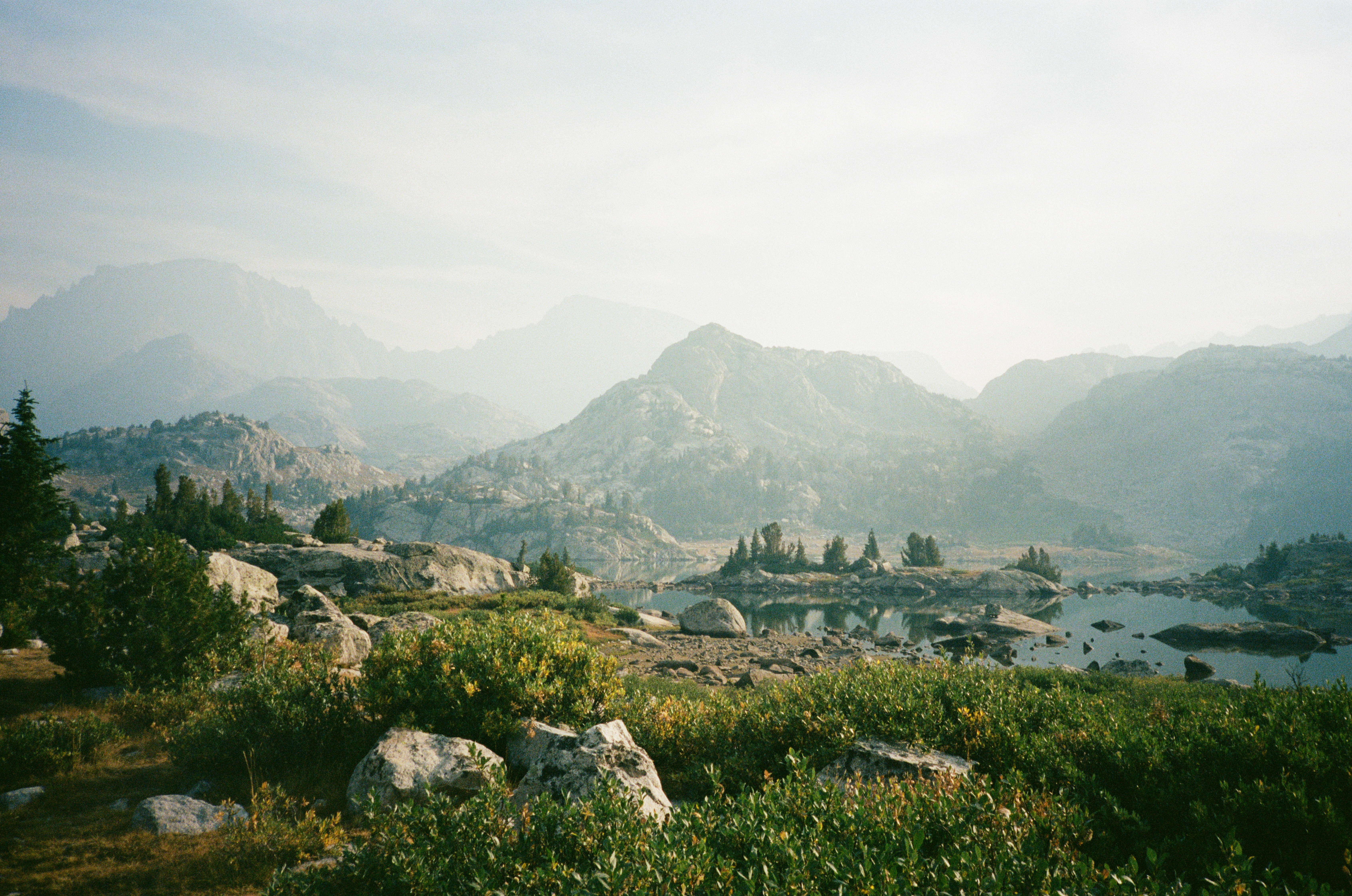
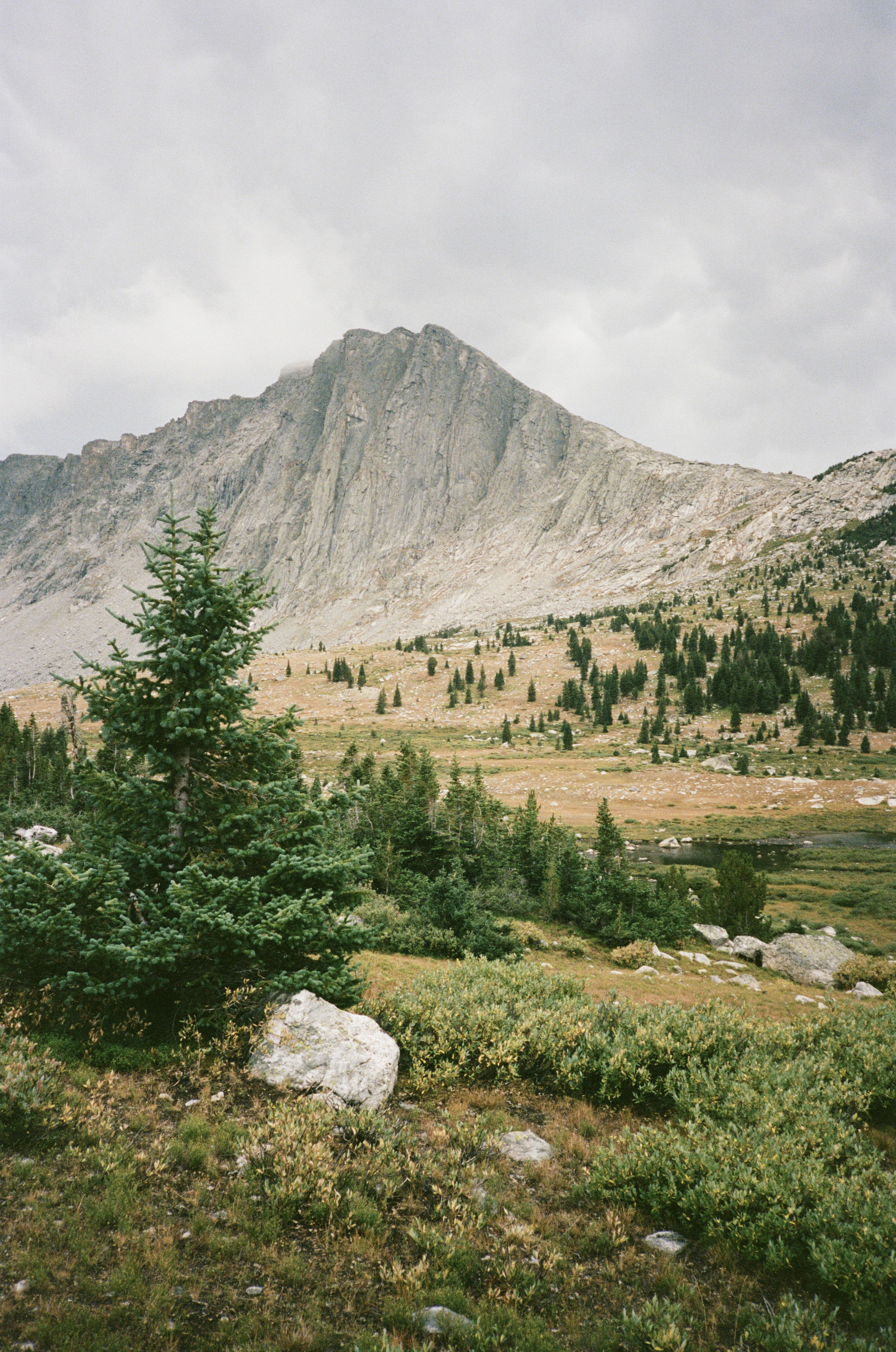
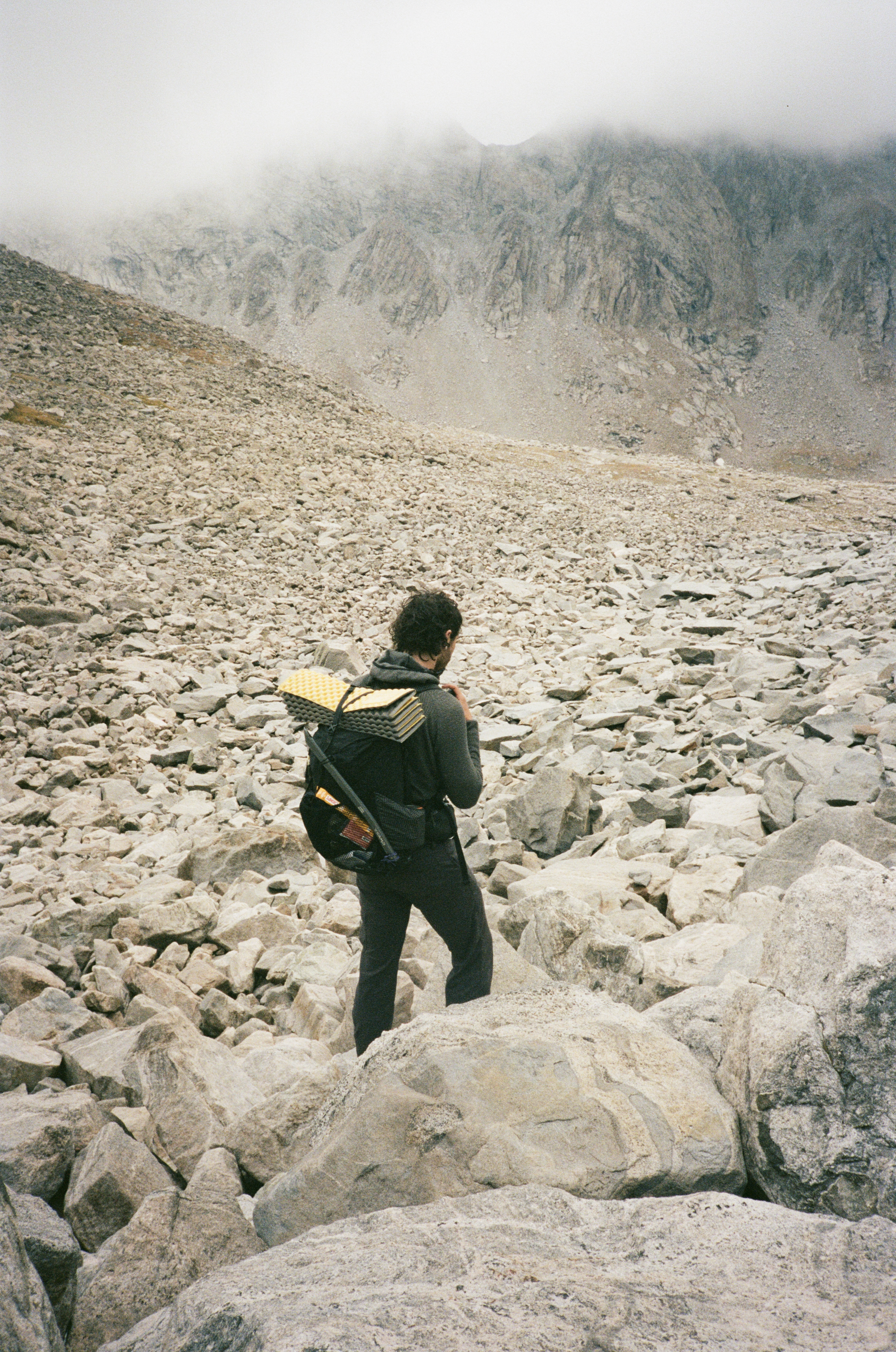
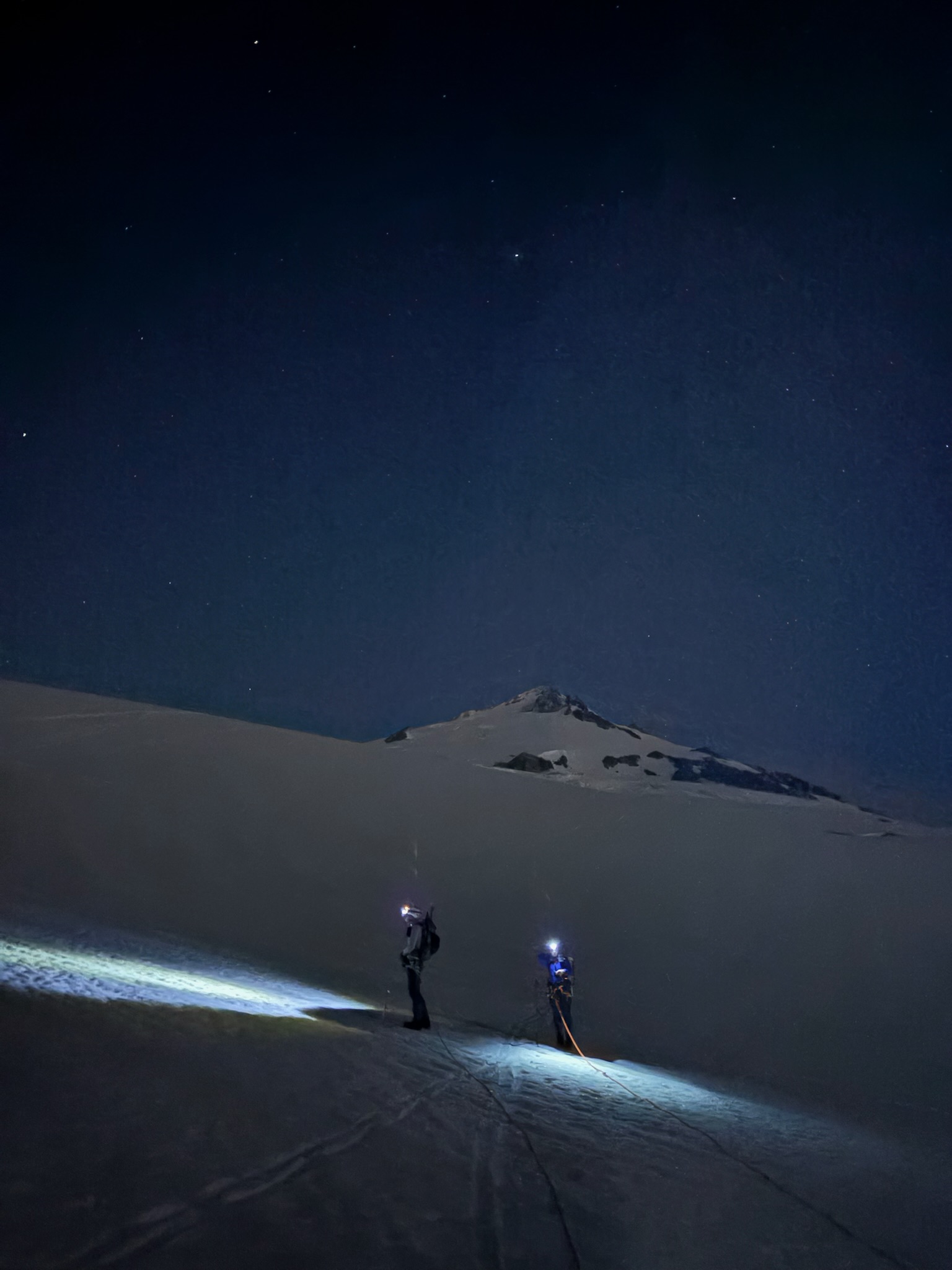
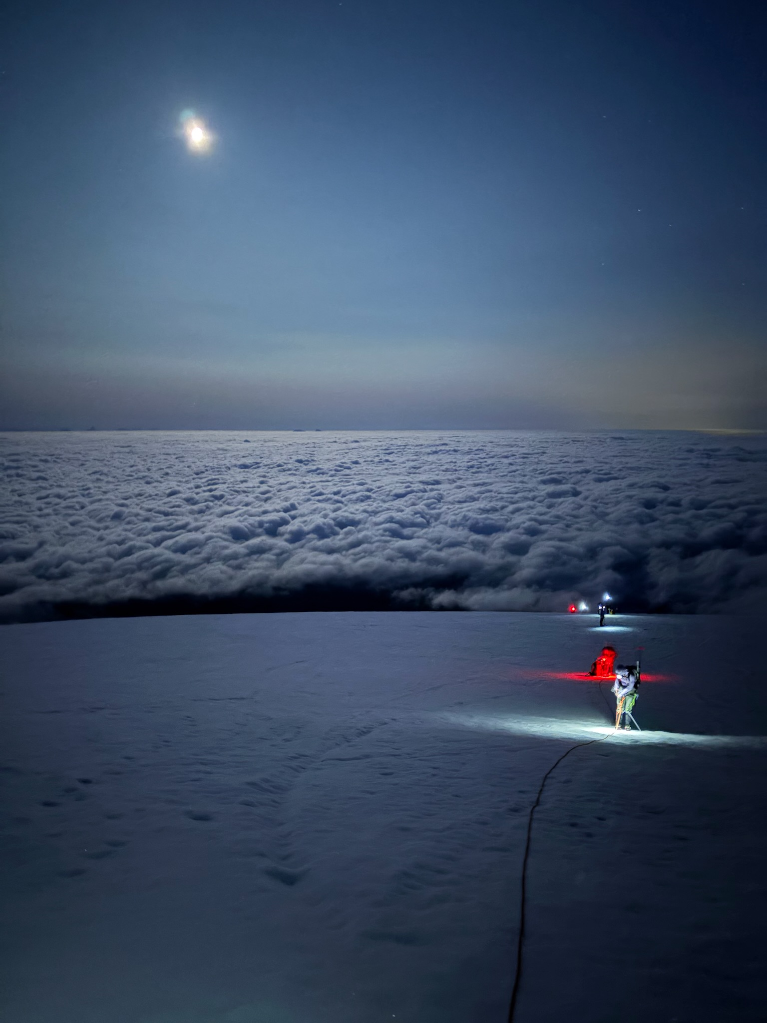
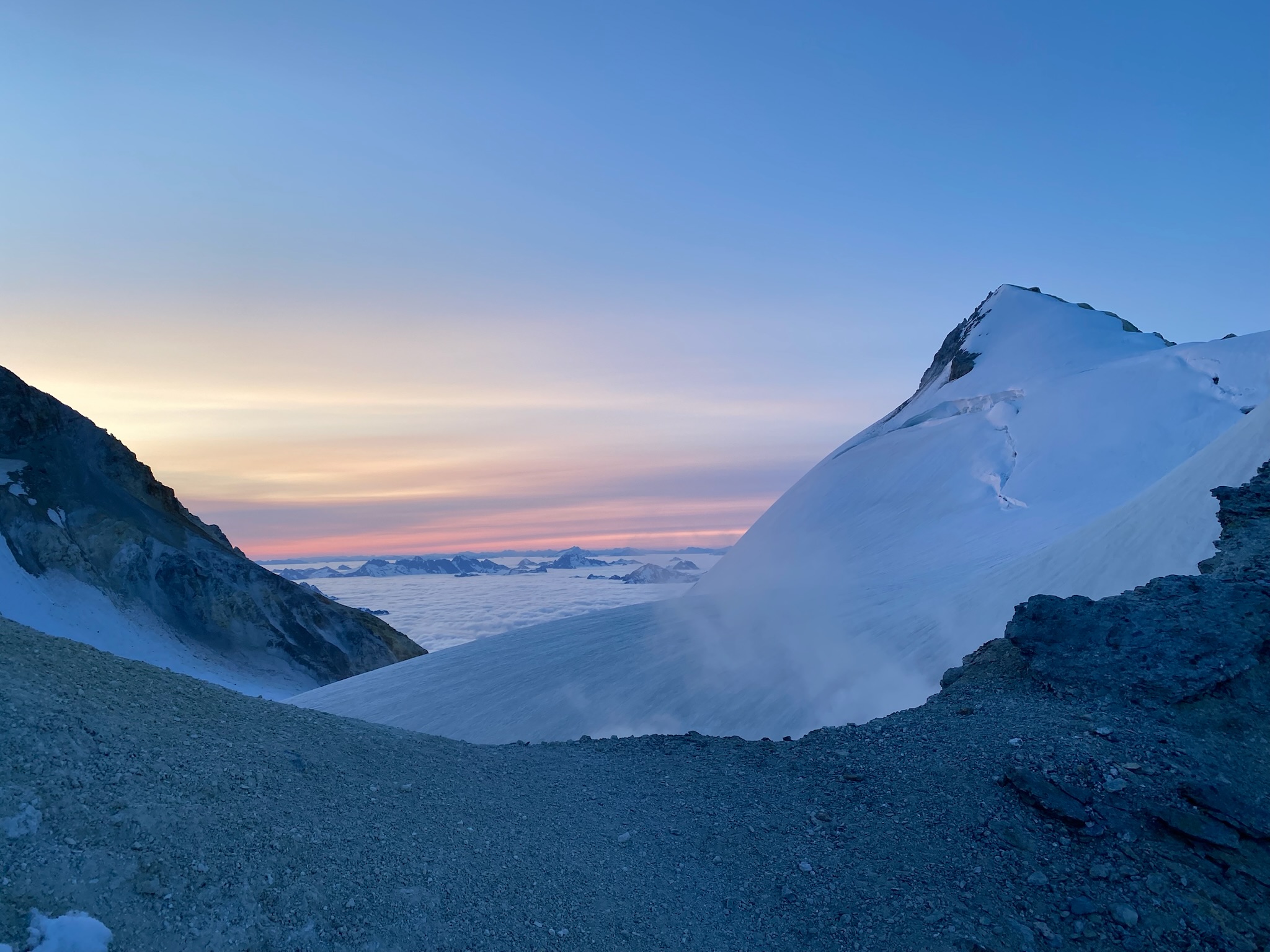
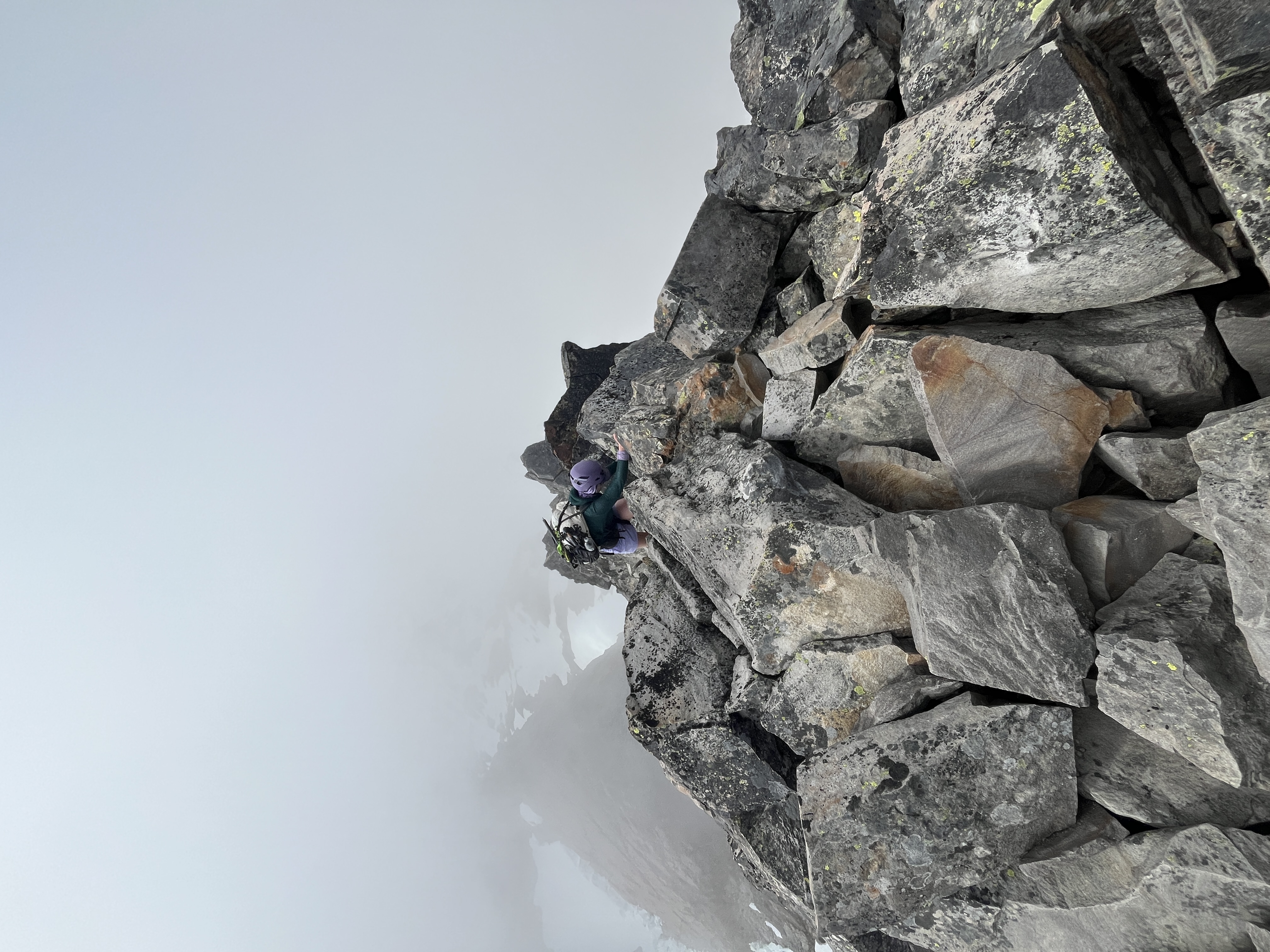
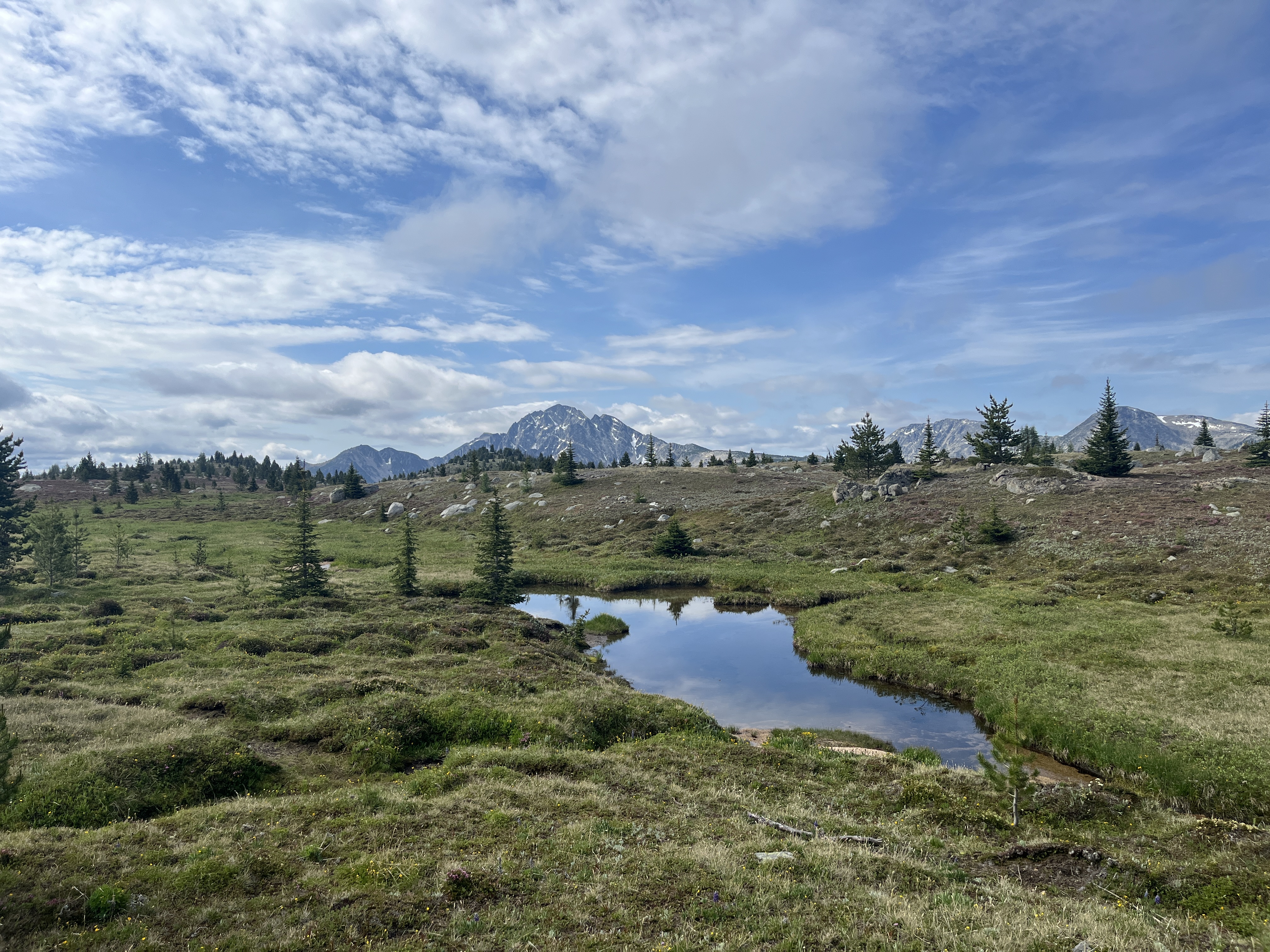
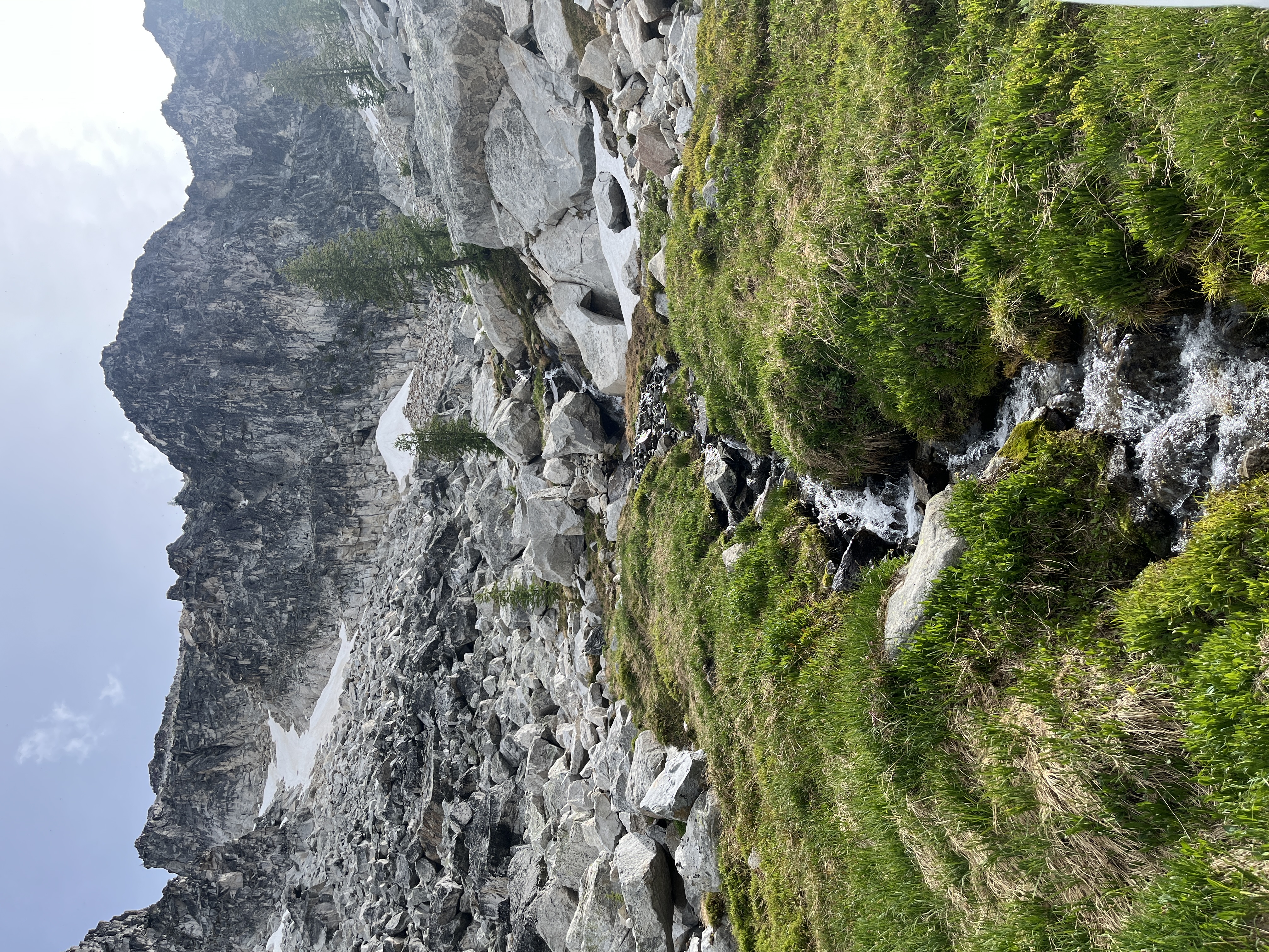
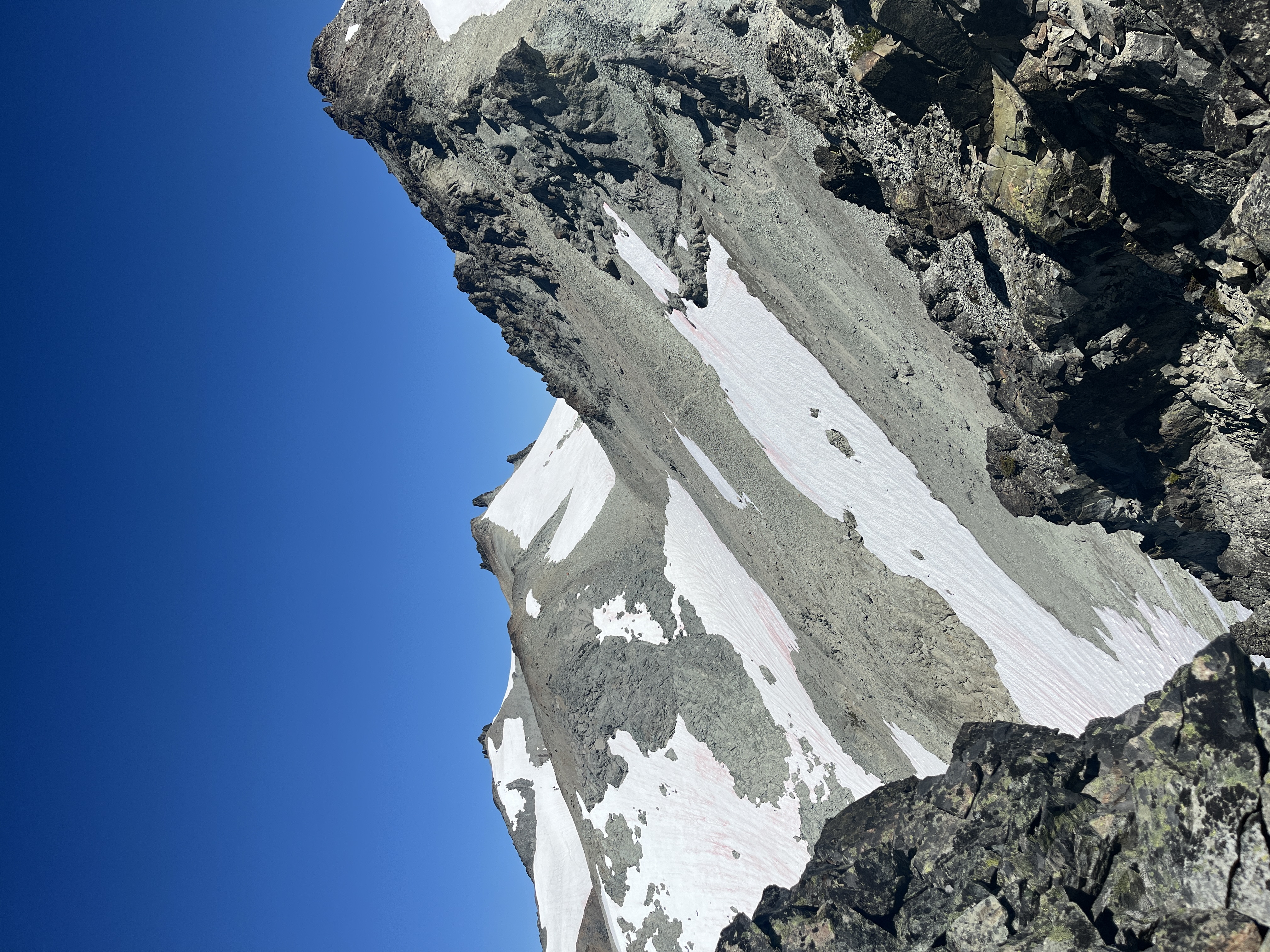
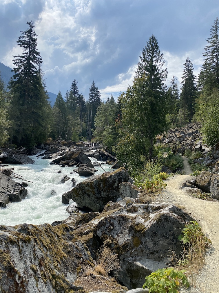
The wind river range is a weird peninsula of tall, glaciated mountains reaching into the otherwise sagebrush covered hills of Wyoming’s high desert. It is compact and striking and one of the further places from civilization in the lower 48. I was moving across the country. It dawned on me that the best way to break up days of endless driving would be to wedge a week-long alpine high route in the middle. It would give me a chance to stretch my legs and see a part of the country that I otherwise wouldn’t soon be in. High routes are the alpine equivalent of backpacking. You’re moving far, over strenuous terrain, but without any technical gear or peak summiting. This particular high route (Alan Dixon route) follows the continental divide, running through alpine meadows, around boulder-strewn lakes, across one glacier, and through nine passes above 11,500ft. SECTION 1: BIG SANDY TH to ELKHART PARK to ISLAND LAKE We began the trip parking at the southern terminus, with the advice that you should always hitch before you hike, as it’s harder to get a ride when you’re tired and dirty. The hitch to the northern trailhead took seven hours and four separate rides. Hitchhiking humbles. Especially next to a desert highway where most cars can’t see you until they’ve blown past, but we made it by 3pm in time for a half day of hiking. The northern terminus of the route was on fire: the dollar lake fire. It felt difficult not to catastrophize yet another beautiful wilderness area shrouded in thick smoke. But I reminded myself that fire is a natural part of the cycles of regeneration, and we slightly altered our route, taking the chance that the wind would blow the smoke away from the center of the range. Elkhart park trailhead to island lakes was a gentle introduction. Roughly six hours of hiking and a would-have-been stunning campsite above island lakes were it not for the smoke. Night one was somewhat sleepless, between the thick air and the acclimatization to 10k feet from sea level. But we awoke to a clear day two and it remained that way throughout the trip, although I attributed that to the consistent hourly rain as much as the wind direction. SECTION 2: ISLAND LAKE – MIDDLE ALPINE LAKES Day two began with a tranquil walk through indian basin, a swim in Lake 11008, and booting up the use trail to indian pass. At we descended the east side onto the knife point glacier, it began raining. The glacier was bare ice with periodic rivulets of meltwater. Although relatively straightforward to cross, a lightning and hail storm began halfway across forcing us to hunker down. The storm passed without incident and we were able to ascend and descend alpine pass before the next wave of hail hit. Traversing down and around the west side of upper alpine lake was extremely slow going. The terrain was mostly sofa to car-sized boulders, intermixed with short sections of cliff. We stayed close to the water which worked well until the ramp system 2/3 of the way down. We spent the night adjacent the middle alpine like which provided an unbelievable westward view through a split in the mountains. SECTION 3: MIDDLE ALPINE LAKES – LAKE 10755 Perhaps the most unexpectedly gorgeous portion of the trail, going through two low-grade passes and around ten alpine lakes. The trail around the north shore of lower alpine lakes was fun boulder hopping and ended with an exciting class 4 scramble up a crack in the cliffs. The wooded section from upper golden lake to golden lake was especially welcomed after the barren alpine of the past two days and would’ve been a nice place to camp. We intended to go further but were so struck by the placid, understated beauty of unamed Lake 10755 below Round Top mountain that we camped there for the night. SECTION 4: LAKE 10755 – BONNEVILLE LAKES Enter the bog. It’s inevitable and the sooner you surrender to a sopping wet shoe, the more fun you’ll have. The bog stretches intermittently from above lake 10322 to the small pass before long lake. I took this as a chance to let go, and strategically did not avoid the wettest parts. Wet shoes always dry eventually. More fun boulder hopping around long lake, and a picturesque descent through Europe Canyon. The ascent after lake 10542 is the last bit if dynamic feeling terrain for a few hours. The route enters a few hours of mindless alpine strolling. We endured rainy conditions throughout this section so I can imagine it might leave a bigger impact in the sun. The bootpack from Camp Lake to Middle Fork is easy to lose, but even easier to find. We continued in our vague direction regardless of whether we were on a defined trail, and eventually found our way to the Middle Fork Trail. We walked in silence up the basin past Lee Lake, in awe at the intensity of Dragon Head, Pronghorn, and Nylon peaks. We opted to ascend Pronghorn pass that night and camp at Bonneville lakes, although north of Lee Lake would’ve been an excellent alternative. SECTION 5: BONNEVILLE LAKES – TEXAS LAKE Our second cruisy day turned contemplative due to rain. It was interspersed with moments of sun which kept the moral high, but prevented us from taking adequate time to enjoy the impressive ridge south of Raid Peak. The pass between Raid and Bonneville was easily attained by closely following the suggested route. We stayed high by going east after the pass so we could take the gentle bench down to Midsummer Dome. Then it was obvious use trail from Pyramid Lake Texas Lake where we enjoyed a long, peaceful sunset. Anywhere from Shadow Lake to Texas pass would make nice camping. Although Shadow Lake was quite busy which felt jarring after the complete solitude of the past 4 days. SECTION 6: TEXAS LAKE – BIG SANDY TRAILHEAD Our final day began with crossing Texas Pass which was not as daunting as it appeared due to a use trail leading the entire way up. The Cirque of the Towers was remarkably extraordinary. It felt impossible that faces of granite that large could exist, much less weather millions of years of erosion to be left standing by themselves. It was an impactful final note to the trip. The exit through big sandy was easy walking, feeling like a slow release from the intensity of the past five days. Even from the trailhead, you cannot tell that such a rugged rage is nestled between unassuming desert shrubs. We finished at 2pm, it total taking 4 full and 2 half days.

washington (2025)

I want to go higher, and further, and farther away from the built environment for a bit. Which led me to enrolling in a four-month mountaineering course through the Washington Alpine Club. The class offered the foundational skills for technical adventure on rock, snow, and glacier. It was just a starting point. There is an endless amount to learn and the alpine is an intense and often serious environment to be. But for me, I wanted an expansive and distinctly unserious introduction into where I could possibly go. So I took this summer to explore the alpine around Washington to get a sense for what type of alpine adventure I want to pursue. These are the peaks I summited this season :-)

seattle, wa (2025)

This was my last sewing project of winter 2024: a cross-body, medium capacity cycling bag. The idea was to create a bag that could carry everything necessary for a full day outside the house, but keep it small enough to comfortably wear while biking. I designed it with dedicated internal pockets and maximized external storage though netting and cinch straps. The size and general shape were initially prototyped, with fabric choice, details, and hardware then chosen during the construction process. I have reached the point in gear sewing where I have a substantial amount of leftover fabric, straps, and buckles from previous projects. I wanted to make this bag entirely out of scrap materials to divert these small pieces from the waste stream and as a creative challenge. The final bag turned out close to what I had envisioned. It is slightly less structured than I imagined, which was due to the use of low denier fabrics, but holds its shape well when filled. The bag features a single large enclosure with five internal pockets, a zipper front pocket, two side pockets, shock cord netting on top, bottom cinch straps, U-Lock holster, bike handlebar mounts, shoulder stabilizer strap, and adjustable center buckle Main bag: reclaimed 420D Robic + 5oz + 2.9oz Dyneema Lining: ECOPAK EPX200 Top + Bottom: 210D Dyneema Gridstop

cascades (2024)

road crunched: 160.02 miles hills climbed: ~9,700 feet time passed: 10.75 hours sugar consumed: roughly 400g This august, I biked around Mt Rainer in the course of one day. The route is typically done as part of the race: Ride Around Mount Rainier in One Day (RAMROD) and is the shortest complete circumnavigation of the 14k foot volcano on paved roads. Since the race was not taking place in 2024, I decided to attempt the ride solo and unsupported. I began at sunrise in Enumclaw traveling clockwise so the majority of the elevation gain would be in the first half of the day. The first 80 miles consisted of peaceful, backroad climbing to Cayuse pass, entering the park, and then reaching the high point at 5400ft. I got to the Paradise Inn feeling equally euphoric and depleted. I had told myself that reaching this halfway point would be my marker of success for the trip and going forward, I could bail whenever was necessary. The descent down Longmire was a delightful demonstration of potential energy, until my rear hub broke and I was no longer able to coast. The remaining 60 miles of the route, I had to keep the petals in constant motion to prevent the back wheel from emminating a nasty grinding sound. Pure momentum pushed me through to the starting point, arriving just after sunset. The visual and mental perspective offered by circuiting a landmass this size was humbling. This was my longest ride to date, and a massive personal accomplishment for my long distance cycling endeavors.

seattle, wa (2024)

I moved into an apartment with no furniture, and by necessity, I have decided to delve into carpentry. The idea was sparked by two cosmetically challenged but structurally pristine Ikea tables I found on the side of the road. They were solid wood which is a rarity in this age of composite materials and I deemed them worthy of transformation. Each table top was split, notched for the legs, and refinished. I shortened the original legs so that the shelf would sit just below the height of our living room window sill. To make them visually appealing, I secured the shelves with horizontal pegs, giving the appearance that the shelves are floating. Given that I arbitrarily created their design for the aesthetics, I wasn’t sure they would be structurally sound. So far though, they have bared more than their own weight in plants and book. This project was made entirely in the Capitol Hill Tool Library in Seattle, Washington, an organization that offers community workspaces and tools to make, repair, and share skills.

whistler, bc (2024)

67 miles + 5634 feet + 2 days Continuously, I aspire to take these wheels further off pavement and onto the dirt and rocks where they belong. This was their first majority singletrack trip and my first excursion in british columbia. The sea to sky route follows the cheakamus, squamish, and green rivers, starting in the coast range and ending in the howe sound. It alternates between deeply forested roads and riverside singletrack, which provided an exhilarating ride on a rigid-framed gravel bike. The route is still incomplete so there were sections of shoulder riding and stretches were the trail was too chunky to ride through and had to be hiked. Overall the trip was a success, although the increasingly predictable smoke of the late summer pacific northwest added an unwelcome visual and aromatic effect. I would highly recommend this route for a short and punchy overnight trip.

puget sound (2024)

I moved to Seattle this past year in large part to have access to the abundance of bikepacking routes within the pacific northwest. Meandering the routes across the olympic/cascades mountains and the islands of the pudget sound, I wanted to document these trips cartographically. This cycling analysis project uses python scrips to pull gpx data from the strava api and convert it into geojson tracks. Those routes are then displayed on the leaflet map. Hover over a route to see more information

seattle, wa (2024)

For this sewing project, I created an unwieldy, high-volume handlebar bag as the latest addition to my bikepacking kit. Made from waterproof technical fabric, I intentionally reversed the face to show the striking, geometric lamination. The final bag went thorough several iterations to minimize rocking during intense climbs and allow ease of access to top and side pockets on my drop-bar bike. This bag was my first project made without a pattern or prototyping. I decided on the rough sizing for the bag, and then worked backwards to determine the shape and size of each pattern piece. I enjoy working on open ended projects both because of the space it provides for customization as well as the mental challenge of sewing without knowing the end product. Sewing in this way I’ve found requires careful attention to the order of operations. I often had to think multiple steps ahead to determine how pieces would be connected before deciding their form or dimensions. The bag features a large main compartment with drawstring closure, zippered side and top pockets, fiberglass stabilization and structural reinforcements, and numerous attachment points. Main bag: RX30 X-PAC Lining: 420D Robic Frame: upcycled tent pole and cutting board

seattle, wa (2024)

The recommendation algorithms of music streaming platforms have become increasingly personalized to the point of only suggesting music within the genres a user already likes. These algorithms are to the detriment of music taste expansion and listening as an actively engaged activity. This music recommendation application serves to broaden music discovery through anonymization of the algorithm requests. The application takes an input artist and fetches a playlist of related songs controlled for popularity. Songs can be previewed and either removed or added to the recommendation seed to shift the playlist towards that sound. Completed playlists are then saved to the users spotify account. This project was made using the python flask library for the application GUI and functionality. Requests are made to the spotify API and stored locally. The project demonstrates flask web development, implementation of authorization schemas, and interaction with RESTful APIs. See the github repo linked on about page.

asheville, nc (2023)

This bag is the first piece of technical outdoor gear I’ve sewn. It happened immediately on the heels of discovering the make-your-own-gear (myog) community and the almost limitless possibilities of home-sewn gear. In my mind and I imagine many others, there is a disconnect between the things we use and how they are made. This introduction to the concept of home-sewn gear lifted the illusion that technical bags required hyper-specialized machinery to manufacture. Motivated by the creative potential and utility sewing offers, I decided to establish the fundamentals with a basic ultralight backpacking bag. I didn’t yet have the knowledge to make a custom pattern, so I prototyped the bag off a popular design by hyperlite mountain gear. Referencing detailed measurements and diagrams taken from an existing bag, I recreated the design using similar high-performance fabrics and notions. The bag presented logistical hurdles being made on a non-industrial sewing machine, but I made accommodations through altering the design. The first iteration was mistakenly made with all purpose nylon thread. After a few months of daily use, the seams began to unravel rendering the bag useless. With a week long backpacking trip on the benton mackaye trail approaching, I dissected the bag down to its individual components, made some alternations to the internal frame, and resewed it using high-performance thread. The bag has now held up over 800 miles in its current iteration and continues to function well. There are many changes I would make, which have already begun informing the design for my second backpacking pack. Main bag: 2.9oz + 5oz dyneema composite Pockets: 210D dyneema ripstop Shouler + hipstraps: upcycled yoga mat + spacer mesh material cost: <80 usd

dolomites (2023)

I was not intending to do this trail. I had only planned to do AV1, but I squeezed some extra time out of my other trails and rest days to fit it in. My initial hesitation was because it included multiple sections of via ferrata – highly exposed trail with bolted cables that you clip a harness into, of which I didn’t have. However, I read online that they’re passable without gear in good weather if you keep a level head and hold on tight. So I decided I should give it a go. The first night greeted me with a few hours of somewhat harrowing lightning. But they were followed a couple pleasant days of blue skies and contemplative walking. I was warned that AV2 is quite strenuous. The trail will take an abrupt turn from the valley straight up to a pass. Luckily, the peaks are grouped into small massifs, so once you ascend a section, you enjoy a relaxing traverse before the next descent… sometimes. Other times the day entails 2500ft of gain, followed by the same amount of loss, then the same gain, then the same loss. The physical difficulty throughout was punctuated by consistent and incredibly stunning scenery. The sections of via ferrata felt incredibly safe just holding on to the cable with my hand. I only felt afraid one exposed sections without a cable, where a via ferrata kit wouldn’t have helped anyways. I hiked this trail southbound, creating an out-and-back of sorts with AV1. This trail is longer and descends all the way back into the foothills above Feltre. The last day, I was traversing along the edge of the last ridge of high peaks. The weather was completely socked in with fog and it felt like the mountains were floating freely in the clouds. As I descended into the foothills, it felt as though I was coming back down to earth after a month and a half in this otherworldly alpine. This trip turned out to be more than just a taste of big mountains. It completely captured my interest and I’m eager to see where they can bring me.

dolomites (2023)

The alta vias are a series of multi-day, high routes (literally translated) through the dolomites. The alta via 1 is a good entry point because it traverses the region while not requiring the technical gear for via ferrata. I embarked on the trail northbound after significant confusion with the bus system (it was a Sunday), and a mile of road walking (we blazed past my stop and I didn’t say anything). Once on trail, it was smooth sailing. By this point, I was two weeks into walking and sufficiently warmed up. I had taken two rest days at Lake Annecy in france to eat and swim, and was ready to move again. The dolomites are so visually striking that it’s almost difficult to process what you’re seeing. The limestone peaks rise so suddenly from the otherwise grassy hills that it looks almost fake. I munched on focaccia, stopped into the refugios for late morning espresso, and took each switchback at a borderline run. It was euphoric.

france (2023)

Compared with my first route, vanoise was a dissolution of frontcountry life and complete immersion into the alpine. Each day was spent above 8000 feet and far from the crowds and amenities of mont blanc. The refuges were further apart, sometimes a full days walking, and were mostly smaller, off-grid cabins serviced by helicopter. Camping is technically illegal, however many of the refuges allowed me to camp right outside for 5 euro. Other nights, I found small places to bivouac in the alpine. The vanoise park was the first national park in france, built to protect the ibex, a big-horned mountain goat. The park feels incredibly expansive. Instead of circling one huge massif, you’re a speck moving along the shoulder of huge glacial valleys. The first evening served me hail and high winds. After which the skies suddenly cleared and I was presented with a double rainbow over a pack of ibex cresting the hill adjacent my tent. The duality felt almost mystical. The rest of the route was one placid blur. More wildflower types than I could count. Grueling ascents to passes that afforded a view into distant valleys. Bivysites across from rockfall that continued the whole night. A cirque that was closed on the fourth side by an impassable sheer wall, save for one perfect ramp up the middle. Hours of walking bathed in the constant tinkering of cowbells. Vanoise was perfect. I would’ve stayed forever.

france + italy + switzerland (2023)

Nothing parallels walking alone in the mountains. For me, only backcountry solitude so acutely conjures the sense of being strikingly in my own body and mind. Following a desire for an extended period of wandering and reflection, I formed a plan for a three part solo trek in the western alps. The trip would consist of: the tour du mont blanc, a tour of vanoise, and alta via one. As my strength increased and the weather warmed, each successive route would move faster and with more days between resupplying. The tour du mont blanc was a gentle welcome to the alpine with heavily trafficked trails and frequent refuges to snack and caffeinate. Compared to the remoteness of the american backcountry, it was jarring to be so isolated and then round upon a packed refuge with a gondola to the valley floor. I embarked alone going counter-clockwise from chamonix. Along the first day, I made three friends and we formed a group for the remainder of the week-long trek. The route itself was absurdly straightforward. The trails are extremely well maintained with luxuries like bridges and signage. I was forced to scrap my initial itinerary after arriving at my planned night 2 campsite on the first evening. I had anticipated it to be quite challenging but the quality of the trail made for easy walking. Going forward, I planned each day as it came, conferring with my group where we wanted to stay each night. This route set a pleasant tone as the beginning to my euro-trek.

pacific coast (2023)

Going up: 29,000 ft Going out: ~900 miles Going over: 2 weeks This was my first ever bikepacking trip and a thoroughly enchanting initiation at over nine hundred miles in the course of two weeks. The route closely traces the pacific coast, alternating between highway 1 and 101, and country roads. By choosing to embark southbound, I got a picturesque view of the coast not interrupted by passing cars, and the advantage of the predictable northerly winds. Bikepacking strikes me as the sweet-spot between pedestrian and vehicle travel. It is at once fast enough to see entire regions and ranges in the course of days, yet slow enough that every scene can be taken in. The variation of this stretch of coast added a novelty to each day that was punctuated by consistent and rhythmic periods of climbing. The first week passed through each rocky southern oregon inlet, which offered the seriousness of passing logging trucks, but also an almost mythical abundance of blackberries, fog enshrouded beaches, and ocean-weathered rock. The route passes into california and the avenue of the giants – an energetically stunning and almost clandestine stretch of old growth forest that the road seems to naturally meander through. Emerging from the avenue, I rode into the diametrically contrasted eel river valley. A hot and horrid section of non-existent highway shoulder riding that left me questioning my persuit of this sport. As quickly as it entered, the route forks out of the valley and up to the elevation high point for the entire pacific coast at leggett hill. After the whiplash of physical and emotional extremes, the route offered the salve of three tranquil days riding along isolated coastal road. I passed through farms and pacific bluffs that became increasingly suburban before crossing the golden gate bridge into san francisco.